
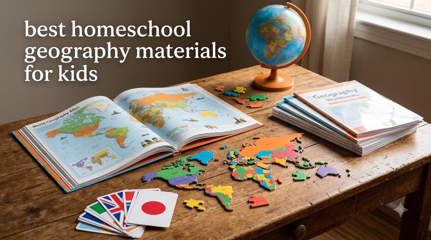
I spent the better part of three months testing homeschool geography materials with my own kids, ages 6 and 9, to figure out which ones actually keep children engaged while teaching real map skills and cultural awareness. What I found surprised me. Some of the most popular resources fell flat, while lesser-known picks became daily favorites.
Finding the best homeschool geography materials for kids means sorting through workbooks, atlases, board games, puzzles, and interactive maps. Every child learns differently, and what works for a visual learner might bore a hands-on learner to tears. That is why I included a mix of formats in this roundup, covering everything from traditional workbooks to interactive talking maps.
Whether you are building a full elementary homeschool with iPad integration or just want to supplement your existing curriculum, this guide covers eight products I tested and would recommend to other homeschool families. You can also check our broader iPad homeschooling guide for digital tool recommendations that pair well with these physical resources.
Table of Contents
Top 3 Picks for Homeschool Geography

DK Countries of the World Encyclopedia
- Visual encyclopedia
- 192 pages
- Covers all countries
- Real photos

Best Homeschool Geography Materials in 2026
| Product | Specifications | Action |
|---|---|---|
| DK Countries of the World Encyclopedia |
|
Check Latest Price |
| Complete Book of Maps and Geography |
|
Check Latest Price |
| BEST LEARNING Talking World Map |
|
Check Latest Price |
 National Geographic Student World Atlas National Geographic Student World Atlas |
|
Check Latest Price |
 The World Game Geography Card Game The World Game Geography Card Game |
|
Check Latest Price |
 The 50 States Board Game The 50 States Board Game |
|
Check Latest Price |
 GeoPuzzle World Jigsaw Puzzle GeoPuzzle World Jigsaw Puzzle |
|
Check Latest Price |
 Spectrum Grade 3 Geography Workbook Spectrum Grade 3 Geography Workbook |
|
Check Latest Price |
1. DK Countries of the World – Visual Geography Encyclopedia
Countries of the World: A Visual World Geography Encyclopedia for Kids (DK Our World in Pictures)
Visual encyclopedia
192 pages
Grades 4-7
Reading age 6+
Hardcover
Pros
- Gorgeous full-page photo spreads for each country
- Real-life pictures help kids visualize cultures
- Interesting facts about flags and landmarks
- Quality hardcover edition built to last
- Works for all ages from young readers to middle school
Cons
- Some countries hidden between page folds on world map
This is the book my kids fight over. The DK Countries of the World encyclopedia uses full-page visual spreads for every country, pairing real photographs with bite-sized facts about culture, landmarks, and daily life. My 9-year-old would pick it up during free time and start reading about Madagascar or Nepal without any prompting from me.
What makes this different from a typical textbook is the visual-first approach. Instead of dense paragraphs, kids get photos of food, clothing, architecture, and wildlife from each country. My younger child (age 6) could not read all the text yet, but she spent hours flipping through the pictures and asking questions. That curiosity-driven exploration is exactly what I want from homeschool geography materials.
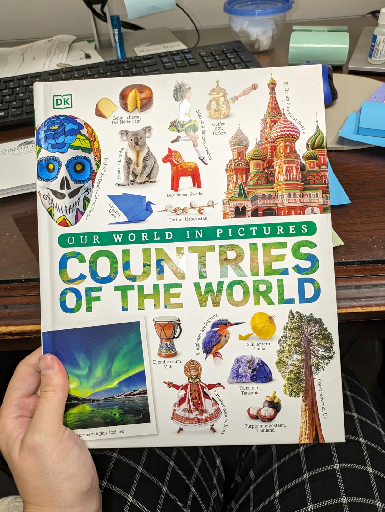
With over 2,300 reviews and a 4.8-star rating, this is one of the highest-rated geography resources available. The hardcover binding holds up to daily use, and the 192 pages cover countries across every continent. I found the factual depth appropriate for grades 4 through 7, though younger kids enjoy browsing the images.
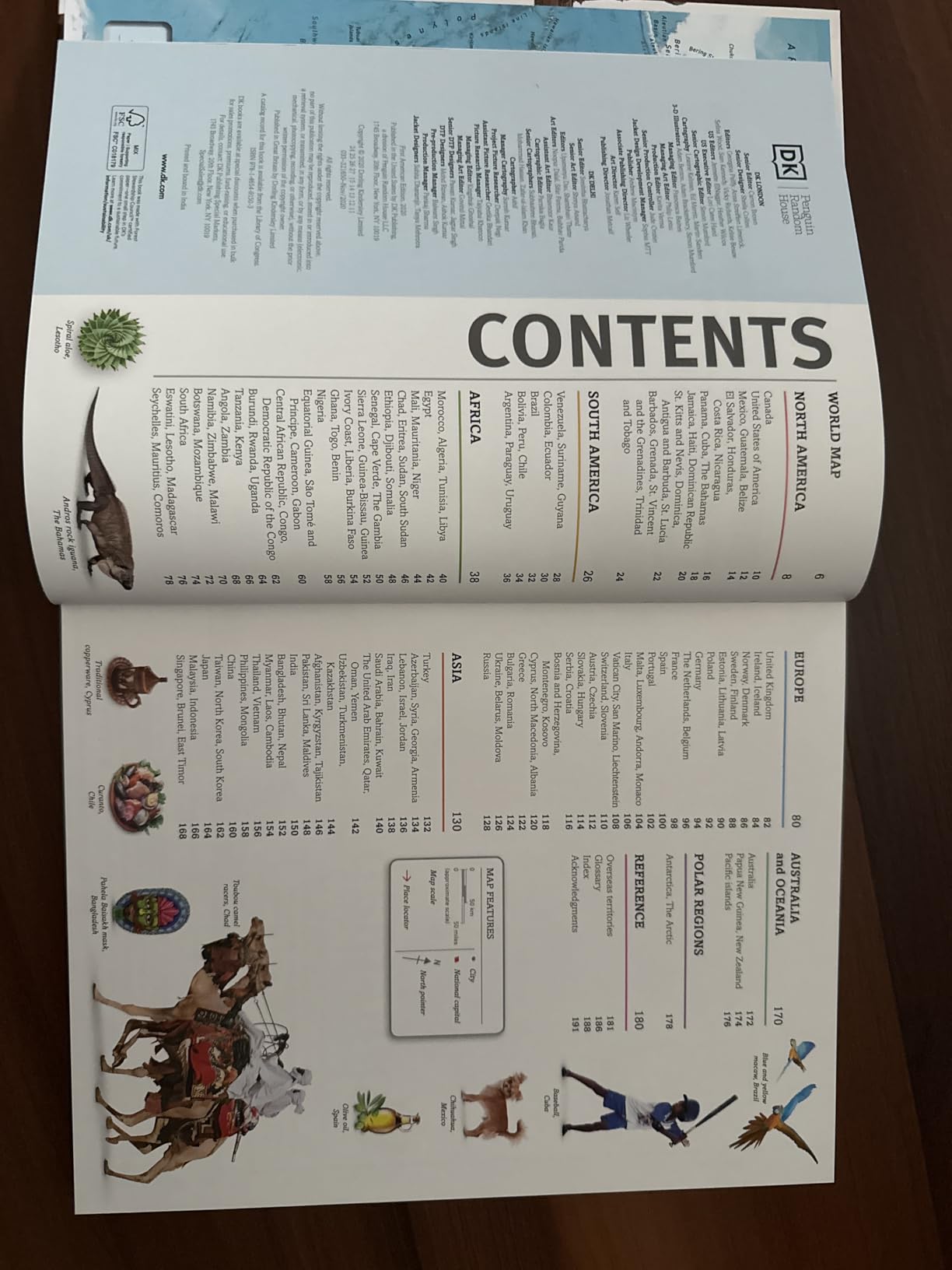
The only real complaint I have is minor. Some countries land in the fold between pages on the world map section, making them harder to read. It is a layout quirk, not a content problem, and it does not detract from the overall quality. For visual learners, this encyclopedia is hard to beat.
How It Fits Into a Homeschool Geography Curriculum
I used this encyclopedia as a spine for a country-of-the-week unit study. Each Monday, my kids picked a country, read the two-page spread, and then we explored it further with maps, videos, and cooking activities. The book provided enough detail to spark discussion without overwhelming younger learners.
For families using a literature-based or Charlotte Mason approach, this reference book pairs beautifully with living books and narrations. It gives kids the visual context they need before diving into deeper cultural studies.
Best Age Range and Grade Level
The publisher recommends grades 4 through 7, but I found it works well for a much broader range. Children as young as 5 enjoy the photographs, while middle schoolers benefit from the factual content. If you are homeschooling multiple ages, this is one of the few resources that genuinely works for everyone at the table.
2. Complete Book of Maps and Geography – Comprehensive Workbook
Complete Book of Maps and Geography Workbook, Global Geography for Kids Grades 3-6, United States Geography and Regions, Map Skills, Time Zones, Oceans
416-page workbook
Grades 3-6
Map skills
US geography
Answer key included
Pros
- Massive 416 pages of content covers huge range of topics
- Beautiful full-color pages keep kids engaged
- Gentle progression from basic to abstract map skills
- Includes games activities and craft projects
- Answer key in back for easy grading
Cons
- Heavily US-focused not much world geography
- May be too basic for advanced 6th graders
When I say this workbook is thick, I mean it. At 416 pages, the Complete Book of Maps and Geography gave my kids months of daily geography practice. The full-color pages make map skills visually engaging, and the progression from basic concepts to abstract map reading is well-paced for grades 3 through 6.
My son started with simple exercises identifying continents and oceans, then gradually moved into reading grid coordinates, understanding time zones, and interpreting political versus physical maps. The sequential building blocks made sense, and I never felt like he was being thrown into material he was not ready for.
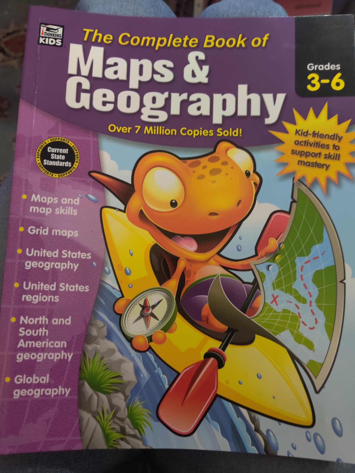
The workbook includes games, activities, and craft projects mixed in with traditional exercises. This variety kept my kids from getting bored, which is always a concern with 400+ pages of content. The answer key in the back made grading quick and painless.
Here is the catch. This book is almost entirely American geography. If you want world geography, you will need to supplement. Several parents on Reddit mentioned the same thing, and I confirmed it during testing. For US geography and map skills development though, this is one of the best homeschool geography materials available.
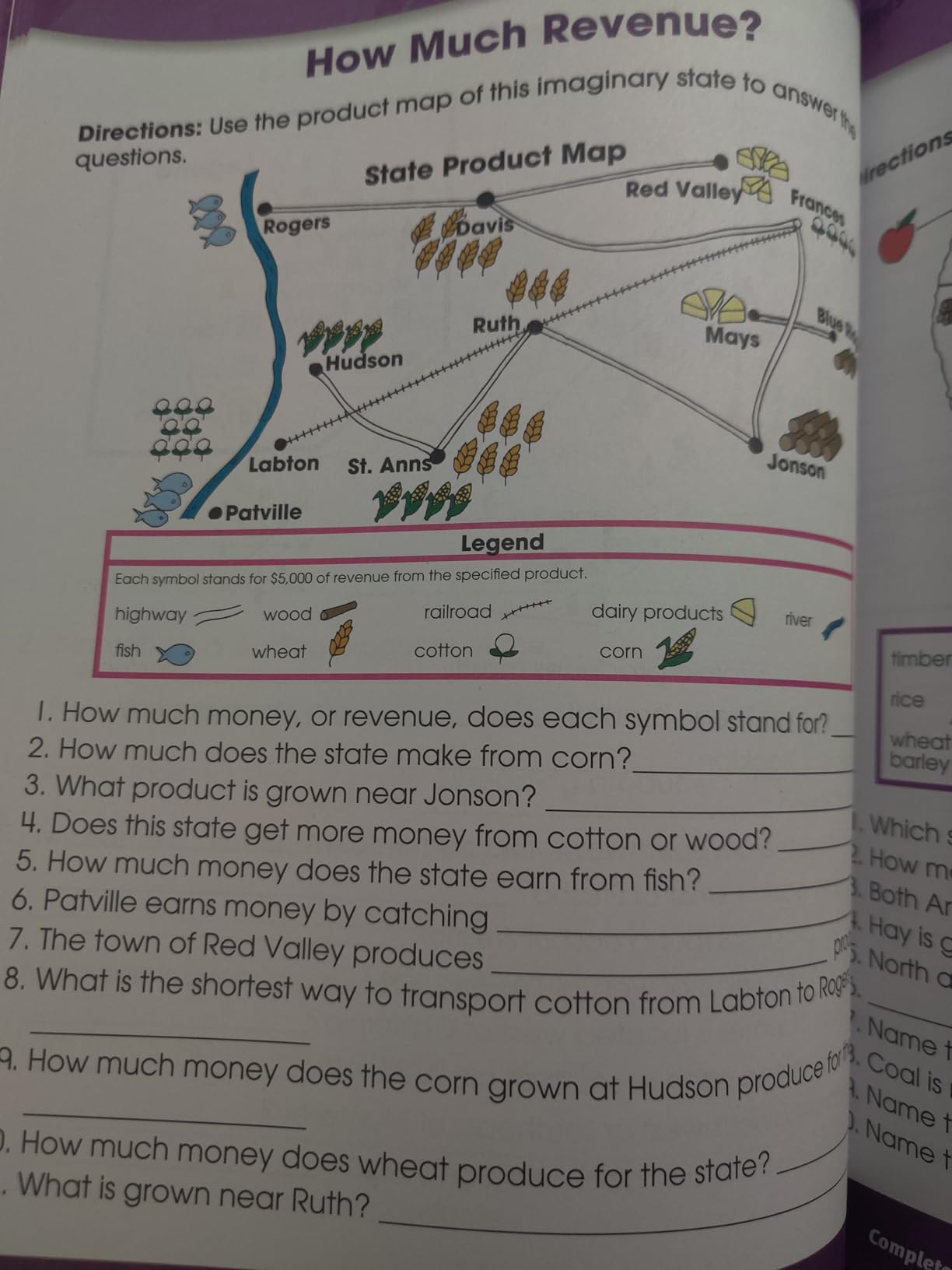
How Much Content Does 416 Pages Really Cover
In practical terms, this workbook lasted my family an entire school year with daily use. Each section covers a specific topic like regions, states, map reading, or oceans, and most sections take 3 to 5 days to complete. I supplemented with world geography resources from this list to fill the international gap.
The thorough state-by-state breakdown is a standout feature. My kids learned state capitals, landmarks, and regional characteristics in a way that stuck because the exercises reinforced each other progressively.
Is This Enough as a Standalone Geography Curriculum
For US geography, yes. It covers regions, states, map skills, time zones, and physical features comprehensively. For a complete world geography curriculum, you will want to pair it with something like the DK encyclopedia or the National Geographic atlas from this list.
I recommend this workbook to families who want a structured, open-and-go resource that requires zero prep. It is especially good for new homeschoolers who are still finding their footing with lesson planning.
3. BEST LEARNING Interactive Talking World Map – Interactive Learning
BEST LEARNING i-Poster My World – Interactive Talking World Map for Kids
Interactive talking map
Ages 5-12
92 countries
1000+ facts
Voice quiz games
Pros
- Voice-guided learning across 10 different modes
- Covers 92 countries with over 1000 facts
- Dual play modes for free exploration and quizzes
- Wall mountable or floor play
- Batteries included with auto shut-off
Cons
- Touch sensitivity issues on some areas
- Does not work well on soft carpet surfaces
- Minor factual errors in some state facts
This was the resource that turned geography from a chore into something my kids voluntarily did after dinner. The BEST LEARNING Interactive Talking World Map lets kids tap any country to hear its name, capital, and fun facts through 10 different voice-guided modes. With over 7,700 reviews, it is one of the most popular interactive geography tools for homeschool families.
I mounted it on our homeschool room wall, and within a week both kids had memorized capitals I did not even know. The quiz mode was particularly effective. It would ask them to find a country, and they would race to tap the right spot. The competitive element kept them motivated in a way that workbook pages never could.
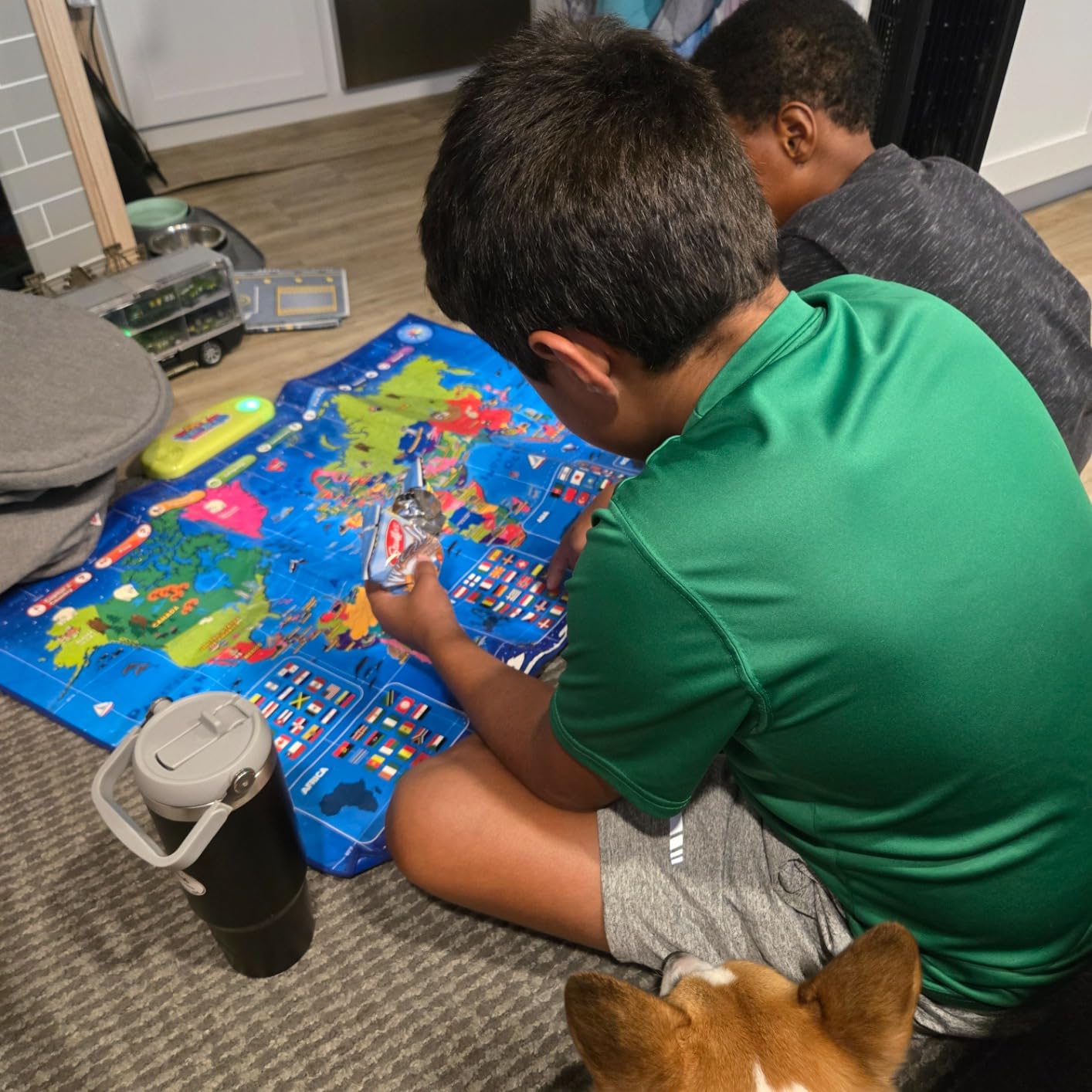
The map covers 92 countries with over 1,000 facts covering flags, capitals, and landmarks. It runs on 3 AAA batteries, which are included, and has an auto shut-off feature that saves power when kids forget to turn it off. The wipe-clean plastic surface has survived juice spills and sticky fingers without damage.
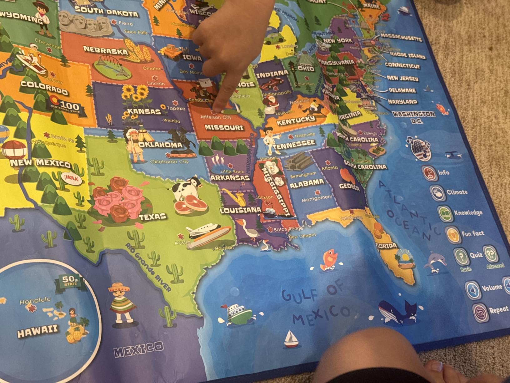
It is not perfect. The touch sensitivity can be finicky in certain areas, and it does not work well on soft carpet. I also noticed a minor factual error where Iowa was associated with potatoes instead of corn. These are small issues, but worth knowing before you buy.
How to Use It Effectively in Your Homeschool
I found the talking map works best as a supplement rather than a primary curriculum. We used it for 10-minute geography warm-ups at the start of each school day. The quiz mode was perfect for quick review sessions, and the free exploration mode let kids follow their curiosity.
Pairing it with a workbook or atlas creates a well-rounded approach. The map provides the interactive engagement, while the workbook builds map reading and spatial reasoning skills that the electronic format cannot fully teach.
Durability and Battery Life Expectations
After three months of daily use by two kids, our map still works perfectly. The plastic surface is easy to wipe clean, and the battery life has been solid with the auto shut-off feature. I replaced the batteries once during that period.
One tip from my experience: mount it on a smooth wall surface rather than using it on the floor. The touch sensors respond much more reliably on a firm, flat surface.
4. National Geographic Student World Atlas – Trusted Reference
National Geographic Student World Atlas, 6th Edition (NGK Atlases)
144-page atlas
Grades 7-9
6th Edition
Flags and topography
Compact format
Pros
- Amazing National Geographic quality photos
- Clear bold print and color coding
- Supplemental info on flags topography economics and culture
- Compact and portable reference
- Excellent value for quality
Cons
- Paperback format does not open flat
- Some content feels US-centric
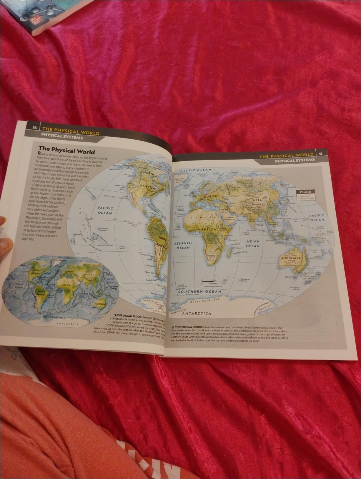
Every homeschool needs a good atlas, and the National Geographic Student World Atlas is the one I reach for most often. This 6th edition features the stunning photography you expect from National Geographic, with clear maps covering continents, countries, and regions. At 144 pages, it is comprehensive without being overwhelming.
My kids use this atlas alongside their workbook lessons. When they are learning about a specific country, they look it up in the atlas to see its location, neighboring countries, and physical features. The supplemental sections on flags, topography, economics, and culture add depth that a basic map cannot provide.
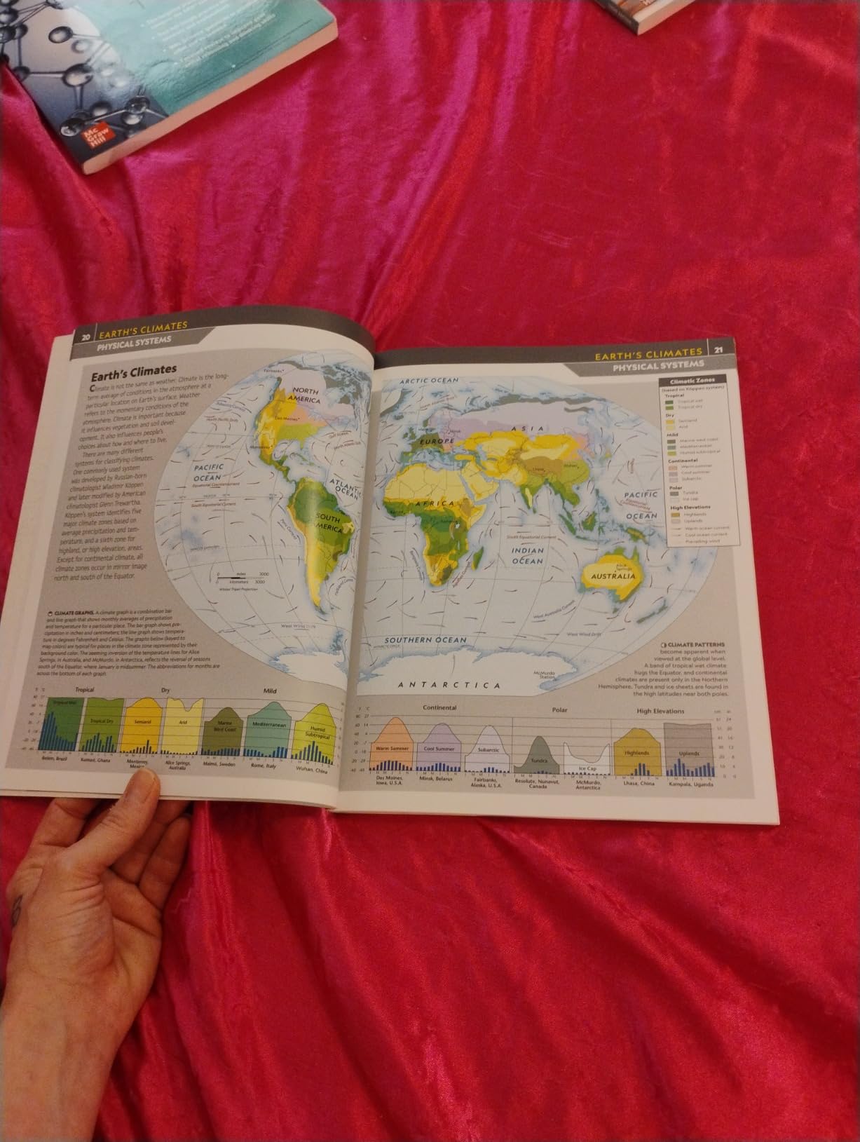
The clear, bold print and color coding make this atlas accessible for younger readers while still offering enough detail for middle school students. I found it ideal for grades 5 through 9, even though the publisher lists grades 7 to 9. My 9-year-old uses it independently without frustration.
The main downside is the paperback binding. It does not open flat, which can be annoying when kids are trying to study a two-page map spread. Some users also noted the content leans US-centric, though I did not find this to be a major issue for our homeschool needs.
What Makes This Atlas Different From Others
National Geographic updates this atlas regularly, and the 6th edition reflects current political boundaries and country names. The quality of the maps is noticeably higher than budget atlases I have tried, with clearer typography and better color differentiation between countries.
The inclusion of economic and cultural data sets it apart from simple map collections. Kids can see not just where a country is, but get a snapshot of its population, language, and key industries.
Grade Level Suitability and Usability
While officially targeted at grades 7 through 9, I found this atlas works well starting around grade 4 with parental guidance. Younger kids can identify countries and continents, while older students can dig into the cultural and economic data for research projects.
For families who want a single reference that grows with their child, this atlas offers excellent longevity. It is detailed enough to remain useful through middle school.
5. The World Game – Geography Card Game for Family Fun
The World Game – Geography Card Game – Educational Games for Kids, Family and Adults – Cool Learning Gift Idea for Teenage Boys & Girls 8-12 with Map
Card game
Ages 8+
194 countries
Flags and capitals
2-5 players
45 min play time
Pros
- Covers all 194 countries with flags capitals and locations
- Award-winning game the whole family enjoys
- Cards double as flash cards or trivia
- Portable and travel-friendly
- Over 2850 reviews from happy families
Cons
- Requires active participation no solo play
- Some country data may need updating over time
Geography does not have to be all workbooks and atlases. The World Game card game turned our Friday family game night into a geography learning session without anyone realizing it. With over 2,850 reviews and a 4.6-star rating, this is one of the most popular educational card games on the market.
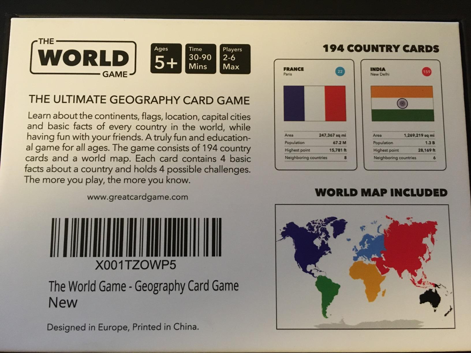
The game covers all 194 countries and includes flags, capital cities, and country locations on a world map. Players compete by finding the strongest fact about each country, which teaches comparison and critical thinking alongside geography. My kids were reciting capitals within a week of regular play.
What impressed me most was the versatility. The cards work as a competitive game for 2 to 5 players, but they also double as flash cards or trivia. My son used them independently for self-quizzing, while my daughter preferred the family game format. At 45 minutes per game, it fits nicely into an evening.
The portability is a bonus. We took this game on a road trip, and it kept the kids entertained while reinforcing country recognition. The compact box takes up minimal space in a bag, making it one of the most travel-friendly geography resources I have tested.
How the Gameplay Actually Works
Each card features a country with its flag, capital, population, and area. On your turn, you pick a category and compare your card against your opponents. The highest value wins the round. It sounds simple, but kids absorb geographic data naturally through repetition.
After a few weeks of playing, my kids could identify dozens of flags and locate countries on a map without hesitation. The game format made the learning stick in a way that flashcard drilling never did.
Can Younger Kids Join In
The game is rated for ages 8 and up, but I found that kids as young as 6 can participate with minor rule adjustments. We simplified the gameplay for my younger child by focusing on just flag recognition and country location rather than comparing statistics.
This adaptability makes it one of the best homeschool geography materials for families with multiple age groups. Everyone can play together, and each child learns at their own level.
6. The 50 States Game – US Geography Board Game
The 50 States Game – US Geography Board Game – Educational Game for Kids & Adults – Fun Learning for Teenage Boys & Girls
Board game
Ages 8+
50 US states
500+ facts
2-5 players
45 min play time
Pros
- Over 500 facts about all 50 states
- Family-friendly gameplay for kids and adults
- Cards work as flash cards or trivia
- Great for road trips and travel
- High quality game pieces
Cons
- Better suited for older children and teens
- Younger kids may lose interest
If you want your kids to learn US geography without it feeling like a school assignment, The 50 States Game is your answer. This board game covers all 50 states with over 500 facts, turning state capitals, landmarks, and trivia into competitive family fun. I brought this out on a rainy Saturday, and my kids played three rounds back to back.
The game is designed for 2 to 5 players ages 8 and up, with each round taking about 45 minutes. My 9-year-old picked it up quickly, while my 6-year-old needed some help reading the cards. The quality of the game pieces is solid, and the artwork is colorful and engaging.
What sets this apart from other geography games is the depth of information. Each state card includes facts about history, geography, famous people, and cultural landmarks. My son was excited to learn that his favorite baseball player was born in a state he had never heard of before playing this game.
The main limitation is age range. This game is better suited for older children and teens. Younger kids may struggle with the reading level and lose interest if they cannot keep up with older siblings. I recommend it primarily for families with kids ages 8 and above.
Learning Outcomes We Experienced
After a month of weekly game sessions, both kids could name all 50 states and most capitals. More importantly, they could tell you something interesting about each state. The trivia format made facts memorable in a way that worksheets never achieved.
I noticed the game also improved their map skills. The board includes a US map, and players must locate states during gameplay. This repeated visual reinforcement helped my kids internalize state locations and regional groupings.
Is It Worth the Investment for Homeschool
At a higher price point than workbooks, you might wonder if a game is worth it. For our family, the answer was a definite yes. The 50 States Game provided hours of educational entertainment that supplemented our formal geography lessons without feeling like extra work.
If you are looking for a single resource that teaches US geography through play, this is the one I recommend most. It pairs especially well with the Complete Book of Maps and Geography workbook.
7. GeoPuzzle World Jigsaw Puzzle – Hands-On Learning
GeoPuzzle World Jigsaw Puzzles, 68 Pc Map Puzzle for Kids Ages 6 & Up
68-piece jigsaw puzzle
Ages 6+
Country-shaped pieces
World map
Cardboard
Pros
- Country-shaped pieces teach geography through shape recognition
- Thick durable cardboard pieces
- Bright vivid colors with excellent detail
- Includes poster guide for assembly
- Great for homeschool and classroom use
Cons
- Pieces do not lock together like traditional puzzles
- Some countries combined on single pieces
- Occasional warped or missing pieces reported
For tactile learners, the GeoPuzzle World jigsaw puzzle is a fantastic addition to your homeschool geography toolkit. What makes this puzzle unique is that each piece is shaped like a country, helping kids learn world geography through physical shape recognition. With over 2,600 reviews, it has proven popular with homeschool families worldwide.
My kids assembled this puzzle on our living room floor dozens of times. Each time, they got faster and more confident about where countries belong. The physical act of fitting country-shaped pieces together helped them internalize spatial relationships that no worksheet could teach.
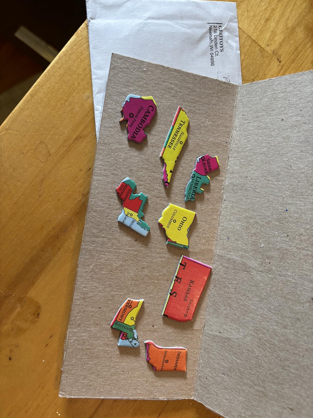
The 68 pieces are made from thick cardboard with bright, vivid colors. The puzzle includes poster guides that kids can use as templates, which is helpful for beginners. My younger child used the guide, while my older one preferred the challenge of assembling from memory.
The puzzle does have some quirks. The pieces do not lock together like traditional jigsaw puzzles, which means they can shift if bumped. Some smaller countries are combined on single pieces, and a few users reported warped or missing pieces. These are minor issues that did not significantly affect our experience.
How to Incorporate Puzzle Time Into Your Routine
I made puzzle time a Friday afternoon activity. After a week of workbook lessons, the kids looked forward to the hands-on change of pace. We would assemble the puzzle together while reviewing country names and continents from the week’s lessons.
The puzzle also works well as an independent activity. Once kids know the basics, they can assemble it on their own while you work with another child. This made it a valuable tool for managing multiple kids during homeschool hours.
Quality and Longevity Considerations
The cardboard pieces held up well over three months of regular use, though they show some wear at the edges. For a puzzle that costs under twenty dollars and provides dozens of hours of educational play, I consider this a solid investment.
If you want a geography resource that teaches through touch and spatial reasoning rather than reading and writing, the GeoPuzzle is one of the best hands-on options available. It is especially effective for younger learners ages 6 to 9.
8. Spectrum Grade 3 Geography Workbook – Budget-Friendly Foundation
Spectrum Grade 3 Geography Workbook, Types of Communities, Environments, Oceans, Landforms, Map Skills, and More, Social Studies Classroom or Homeschool Curriculum
128-page workbook
Grade 3
Communities and landforms
Map skills
Step-by-step progression
Pros
- Quick bite-sized lessons perfect for short attention spans
- Colorful and engaging page design
- Step-by-step progression builds confidence
- Great for ESL students and struggling readers
- Trusted Spectrum educational series
Cons
- Not very in-depth may need supplementation
- May not stretch to a full semester without extras
The Spectrum Grade 3 Geography Workbook is the resource I recommend to homeschool families on a tight budget. It covers types of communities, environments, oceans, landforms, and map skills in 128 pages of bite-sized lessons. With nearly 900 reviews and a 4.7-star rating, it has earned its place as a homeschool staple.
What I loved about this workbook is the lesson length. Each exercise takes about 10 to 15 minutes, which is perfect for kids with short attention spans. My son could complete a lesson, feel accomplished, and move on without getting frustrated or bored.
The step-by-step progression builds confidence gradually. Topics start simple with basic community types and landforms, then advance to map skills and environmental concepts. The colorful page design kept my kids engaged, and the short format meant they never felt overwhelmed.
The trade-off is depth. This workbook covers a lot of ground but does not go deep on any single topic. Several parents noted it may need supplementation to stretch across a full semester. I paired it with the DK encyclopedia and found the combination worked well.
What Topics Does This Workbook Actually Cover
The Spectrum workbook covers types of communities (rural, urban, suburban), environments and ecosystems, oceans and waterways, landforms, weather and climate, and foundational map skills. Each topic is presented in a child-friendly format with illustrations and short reading passages.
For third graders just starting formal geography instruction, this provides a solid foundation. The lessons are secular, which many families appreciate, and the content aligns with standard social studies curriculum expectations.
How It Compares to Other Workbooks
Compared to the 416-page Complete Book of Maps and Geography, the Spectrum workbook is shorter and less detailed. However, it covers different topics like communities and environments that the other book does not address. The two workbooks actually complement each other well.
For families who want an affordable, no-frills geography workbook that gets the job done, Spectrum is a reliable choice. It is especially good for families new to homeschooling who want a structured starting point without a big investment.
How to Choose the Right Homeschool Geography Materials
Choosing the best homeschool geography materials for kids depends on your child’s learning style, grade level, budget, and teaching approach. After testing all eight products in this roundup, I developed a framework for making the right choice for your family.
Consider your child’s learning style first. Visual learners thrive with the DK encyclopedia and National Geographic atlas. Hands-on learners connect with the GeoPuzzle and interactive talking map. Kids who learn through play will love the card games and board games. Most children benefit from a mix of formats, so do not feel limited to one type.
Match materials to grade level carefully. For early elementary (K-2), start with the GeoPuzzle and the interactive talking map. For upper elementary (grades 3-5), the Spectrum and Complete Book workbooks are ideal. Middle schoolers benefit from the atlas and card games for deeper study. Our homeschool kindergarten setup guide has more tips for the youngest learners.
Think about secular versus faith-based preferences. All eight products in this roundup are secular, which was important to many families in the Reddit and Facebook groups I reviewed. If you want faith-based geography materials, you will need to look beyond this list.
Balance your budget across formats. A well-rounded homeschool geography plan might include one workbook ($12-16), one reference book or atlas ($10-12), and one game or interactive tool ($18-57). This gives kids variety and prevents the fatigue that comes from doing the same type of activity every day.
Factor in independent learning needs. If you homeschool multiple children or work from home, prioritize materials kids can use independently. Workbooks, the talking map, and the GeoPuzzle all support self-directed learning. Board and card games require more parental involvement.
Consider how materials work together. The best geography programs use complementary resources. For example, use a workbook for skill building, an atlas for reference, a game for review, and an interactive map for engagement. This multi-modal approach reinforces learning through different pathways.
FAQs
What do you use for geography in homeschool?
The best homeschool geography materials combine workbooks, reference books, hands-on tools, and games. A balanced approach might include one workbook like the Complete Book of Maps and Geography for skill building, a visual reference like the DK Countries of the World encyclopedia, and an interactive tool like the BEST LEARNING Talking World Map for engagement.
What is the best geography curriculum for elementary?
For elementary grades, I recommend starting with the Spectrum Grade 3 Geography Workbook for foundational concepts, the Complete Book of Maps and Geography for comprehensive skill building, and the GeoPuzzle for hands-on learning. Adding the DK Countries of the World encyclopedia gives kids a visual reference that works across multiple grade levels.
Are there free homeschool geography resources?
Yes, free resources include Seterra online geography quizzes, Core Knowledge free geography units, and printable maps from National Geographic Education. While free resources are helpful for supplementation, investing in a few quality paid materials like a workbook and atlas provides structured learning paths that free resources typically cannot match.
What geography apps are good for kids?
Interactive tools like the BEST LEARNING Talking World Map provide hands-on digital-style learning. For iPad-specific geography apps, check our iPad homeschooling guide. The World Game card game also works as an offline alternative to digital quiz apps, covering 194 countries with flags and capitals.
Final Thoughts
After three months of testing, my top recommendation for the best homeschool geography materials for kids in 2026 is the DK Countries of the World encyclopedia for its unmatched visual appeal and the Complete Book of Maps and Geography for structured skill building. The BEST LEARNING Interactive Talking Map rounds out the top three for kids who learn best through interaction.
The beauty of homeschool geography is that you do not have to choose just one format. Combining a workbook, a reference book, a game, and a hands-on tool gives your kids multiple pathways to learn the same material. That variety is what keeps geography fresh and engaging all year long. Pick the resources that match your child’s learning style and budget, and start exploring the world together.