
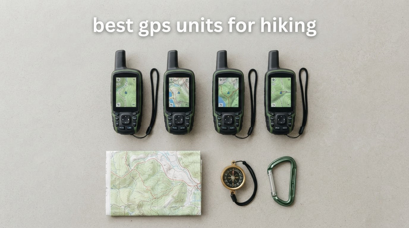
Cell coverage disappears exactly where hiking gets interesting. A dedicated handheld keeps working when your phone shows no bars, runs for days on AA batteries, and can be operated with cold gloves on. The short answer to the most common question in hiking forums: the best GPS units for hiking are the Garmin eTrex 10 for proven all-round reliability, the Garmin eTrex 22x for the best value with color topographic maps, and the Garmin inReach Mini 2 if you need to send messages and trigger an SOS from places no cell tower reaches.
That last one comes with a catch. Satellite communicators need an active paid subscription to do anything useful, and most listings never say so. Every pick in this roundup works with zero cell service, but only the inReach units talk to the outside world, and only while you are paying for it.
Before you buy, it is worth working out whether you need a unit at all. A phone running Gaia or Guthook with offline maps handles well-marked trails, weather, and route planning perfectly well, and forum regulars on the Appalachian Trail point out the single biggest complaint: phone battery life. If you are doing day hikes on familiar routes, your phone is probably enough. If you are heading into drainages, canyons, or solo backcountry trips, carry a unit. Our tested headlamp picks cover the other essential piece of kit for the same trips.
We compared all ten units below on weight, screen, battery, mapping, and satellite capability, and we paid close attention to what reviewers actually complain about rather than what the spec sheets promise.
Table of Contents
Top 3 Picks for the Best GPS Units for Hiking

Garmin eTrex 10
- 2.2 inch monochrome LCD
- 2 AA batteries 20 hours
- IPX7 waterproof
- 6 MB memory with worldwide basemap

Garmin eTrex 22x
- 2.2 inch color TFT
- 2 AA batteries 25 hours
- Preloaded Topo Active maps
- 8 GB plus microSD

Garmin inReach Mini 2
- Two-way Iridium messaging
- Interactive SOS 24/7
- Up to 14 days at 10-minute tracking
- 99 g
Best GPS Units for Hiking in 2026
All ten units below track your position and plot routes without any cell service. The columns that separate them are screen readability, battery runtime, mapping depth, and whether the device can send a message home.
| Product | Specifications | Action |
|---|---|---|
| Garmin eTrex 10 |
|
Check Latest Price |
| Garmin eTrex 22x |
|
Check Latest Price |
 Garmin Foretrex 401 Garmin Foretrex 401 |
|
Check Latest Price |
| Garmin inReach Mini 2 |
|
Check Latest Price |
 Garmin eTrex 30 Garmin eTrex 30 |
|
Check Latest Price |
 Garmin Oregon 600 Garmin Oregon 600 |
|
Check Latest Price |
 Garmin inReach SE+ Garmin inReach SE+ |
|
Check Latest Price |
 Garmin eTrex Legend HCx Garmin eTrex Legend HCx |
|
Check Latest Price |
 Garmin GPSMAP 62St Garmin GPSMAP 62St |
|
Check Latest Price |
 Garmin GPSMAP 66s Garmin GPSMAP 66s |
|
Check Latest Price |
1. Garmin eTrex 10 – the most proven all-round trail navigator
Garmin 010-00970-00 eTrex 10 Worldwide Handheld GPS Navigator
2.2 inch monochrome LCD
2 AA batteries 20 hours
IPX7 waterproof
5 ounces
Pros
- Most proven unit in the roundup with 6450 reviews
- WAAS and HotFix with GLONASS for fast positioning
- 20 hours on two AA batteries
- IPX7 waterproof
- Only 5 ounces
Cons
- Small 2.2 inch monochrome screen
- Only 6 MB of internal memory
The eTrex 10 has been the answer on hiking forums for so long that recommending it has become automatic. r/hiking regulars call the eTrex family the default answer, and the eTrex SE is named as the most basic model that has everything you actually need.
What stands out after reading through thousands of reviews is not any single feature but the consistency. It holds 4.3 stars with a 66 percent five-star share across 6450 ratings, which is the largest review base of any unit here by a wide margin. That kind of volume means the failure modes are well known and well survivable.
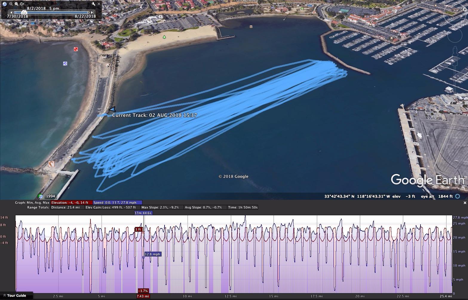
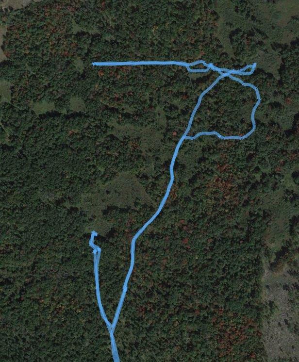
The technical case is straightforward. It runs a WAAS-enabled receiver with HotFix and GLONASS support, so it locks satellites fast even on a cold start in the shade of a drainage. Two AA batteries give roughly 20 hours, and the IPX7 rating means rain and creek crossings are not a concern. Paperless geocaching works, and it records tracks, waypoints, and elevation points so you can estimate time and distance between points.
What you give up for that reliability
The display is the whole trade-off. It is a 2.2 inch monochrome LCD at 128 x 160 resolution, which is fine for following a trackline or spotting a waypoint arrow but genuinely hard work when you want to read contour lines or a trail junction in detail. The 6 MB of internal memory leaves no room for downloadable topographic detail, so you are navigating on the preloaded worldwide basemap.
Long-term owners on paddling and hiking forums describe units that keep working for years on ordinary AA batteries, some still using the same simple two-battery format as a backup device a decade on. That longevity is a real argument for buying the simplest thing that will do the job.
Who should buy it, and who should not
Buy the eTrex 10 if you follow marked trails, want a track recorder, and do not care about map detail. It is the sensible first dedicated unit for a beginner and the right choice for anyone whose trips are one to three days in the backcountry.
Skip it if your route planning depends on reading terrain rather than following it. If you need to see where a side trail drops in before committing to it, the tiny monochrome screen will frustrate you, and a color unit like the eTrex 22x is a better spend. For paperless geocaching with more map storage, the eTrex 30 covers that ground.
2. Garmin eTrex 22x – the best value handheld with color topo maps
Garmin 010-02256-00 eTrex 22x, Rugged Handheld GPS Navigator, Black/Navy
2.2 inch color TFT at 240 x 320
2 AA batteries 25 hours
Preloaded Topo Active maps
8 GB plus microSD
Pros
- Sunlight-readable color display
- Preloaded routable Topo Active maps
- 8 GB internal plus microSD slot
- GPS and GLONASS support
- Up to 25 hours on 2 AA batteries
- Bluetooth connectivity
Cons
- Button-only interface with no touchscreen
- 2.2 inch screen is still small for detailed trail reading
The eTrex 22x is the volume seller in this category and the unit we would hand most hikers. It takes everything the eTrex 10 does and adds the two things hikers actually ask for: a color screen and real topographic maps with routable trails.
It sits at 4.3 stars across 2064 reviews with a 64 percent five-star share, and it ranks in the top ten of Amazon’s Handheld GPS Units category. That combination of rating, review volume, and feature set is what earns it the value badge rather than the top slot.
Maps are the headline. Topo Active is preloaded with routable roads and trails for hiking and cycling, so the device is useful the moment you pull it from the box without a computer in sight. Eight gigabytes of internal memory handles map downloads, and the microSD slot removes the ceiling entirely for anyone mapping a whole region.
Where the 22x beats its cheaper sibling
The 2.2 inch 240 x 320 color TFT is roughly twice the pixel count of the eTrex 10 screen, and color makes a real difference when you are distinguishing a trail from a road or reading shaded relief. Battery life is slightly better at up to 25 hours in GPS mode, and GPS plus GLONASS support holds a track better in broken terrain than GPS alone.
Bluetooth is the sleeper feature. It is what lets you sync courses and waypoints from the Garmin Explore app instead of fighting desktop software, which is where most older Garmin owners lose an evening.
Where the 22x still falls short
There is no touchscreen. Every map zoom, pan, and waypoint entry happens with a physical keypad, which is slower but also far more reliable with wet or gloved hands. Some people love that. Others who have used a modern touch unit find the button-only interface slow.
The screen is still only 2.2 inches. If your trips involve reading a lot of terrain rather than following a line, step up to the Oregon 600 or the GPSMAP 66s for a 3 inch display. Otherwise the 22x is the sweet spot for most hikers, and it is the model we recommend when someone asks which eTrex to buy first.
3. Garmin Foretrex 401 – a 3.1 oz wrist navigator that holds a lock
Garmin Foretrex 401 Waterproof Hiking GPS
1.42 by 0.91 inch LCD
2 AAA batteries up to 17 hours
HotFix receiver
3.1 ounces waterproof
Pros
- Highest rating in the roundup at 4.6 stars
- HotFix receiver rated for heavy tree cover and deep canyons
- 3.1 ounces and fully waterproof
- TracBack navigation and dual position readout
- Built-in electronic compass and barometric altimeter
Cons
- No topographic map support out of the box
- Very small 100 x 64 pixel screen
- Data transfer needs separate Basecamp software
The Foretrex 401 wins on one number: 4.6 stars with an 80 percent five-star share across 1981 reviews, the highest rating and highest five-star share of any unit in this roundup. Long-term owners describe it as effectively indestructible, using it across desert heat, freezing cold, and heavy rain.
It is also the lightest option here at 3.1 ounces, worn on the wrist rather than carried in a pocket. Backpacking Light forum threads repeatedly name the Foretrex line for exactly this reason: when every gram counts on a thru-hike, a wrist unit that you do not have to dig out of a pack is worth real money.
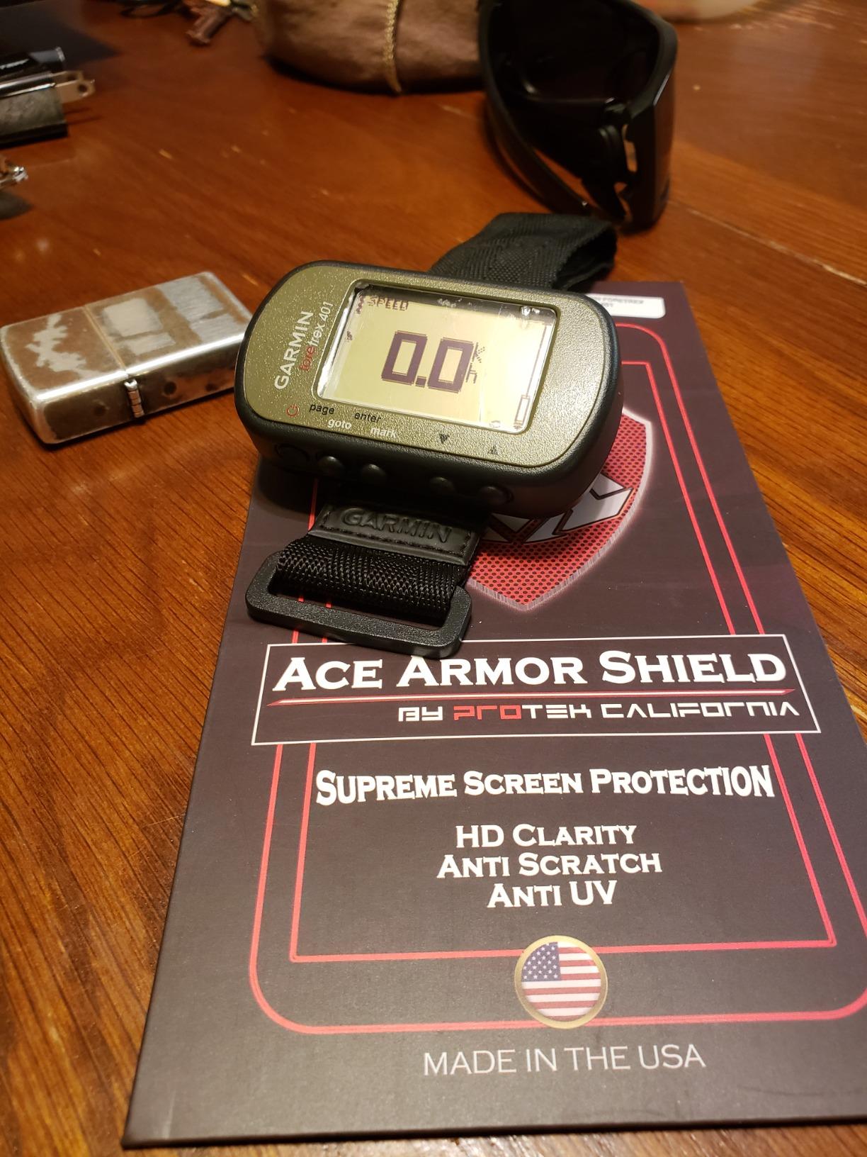
The receiver is the technical reason for the strong reviews. The high-sensitivity GPS with HotFix is specifically engineered for improved reception in heavy tree cover or deep canyons, which is the exact scenario hikers worry about most. A paper trail on forums.paddling.com has people naming the DeLorme PN60 and the Garmin 60CSX as among the best handheld units ever made, and the Foretrex sits in that same lineage of simple, tough, repairable gear.
What makes the wrist form genuinely useful
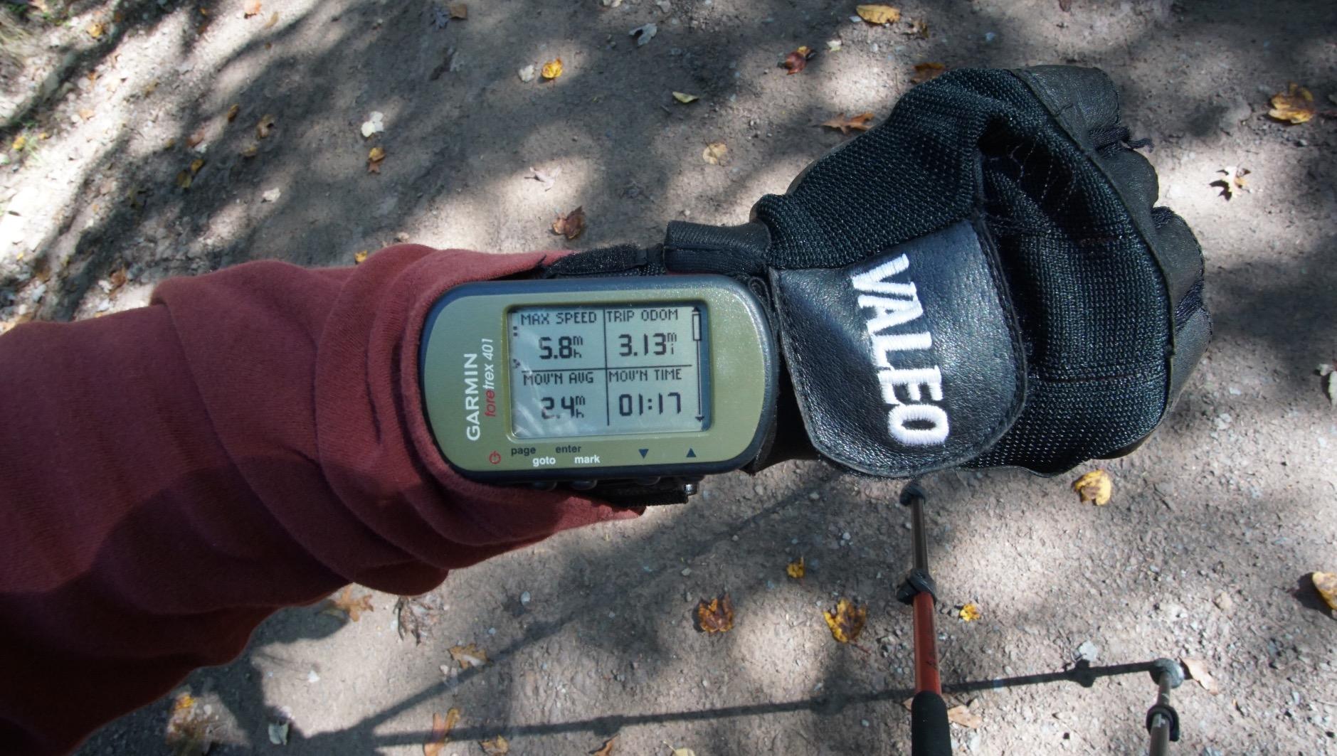
You glance down instead of stopping and unpacking. The Foretrex 401 tracks routes, tracks, and waypoints, supports heart rate monitoring with an add-on sensor sold separately, and retraces your path with TracBack on the LCD. Dual position readout lets you view your location in multiple formats, including military grid coordinates, which is handy when you are working from a coordinate given over the radio.
The trip computer, sunrise and sunset times, audible navigation tones, electronic compass, and barometric altimeter round out a device that answers most navigation questions without any map at all.
What the wrist form costs you
There is no topographic map support out of the box. The 1.42 by 0.91 inch screen at 100 x 64 pixels is the smallest and lowest-resolution display here, and it is a data readout rather than a map you navigate on. If you need to see terrain, this is not the device.
Instructions are minimal, and moving tracks to a computer requires separate Basecamp software. The backlight is very bright, and with so few buttons, entering multiple waypoints is slow. But up to 17 hours in GPS mode on two AAA batteries is a solid runtime, and a device you can replace a cell in mid-trail never becomes dead weight.
4. Garmin inReach Mini 2 – the lightest way to message from off-grid
Garmin inReach® Mini 2, Satellite Communicator, Orange
1.27 inch transflective MIP monochrome
Up to 14 days in 10-minute tracking
Two-way satellite messaging and SOS
99 g
Pros
- 82 percent five-star share across 1704 reviews
- Ranks first in Amazon Handheld GPS Units
- Two-way Iridium messaging and interactive SOS where cell service fails
- Compact at 99 g and clips to a pack strap
- Subscription can be suspended during inactivity
Cons
- 1.27 inch screen is very small as a standalone mapping GPS
- Typing custom messages on-device is slow
- Requires an active satellite subscription
- Some owners report battery life well under the advertised 14 days
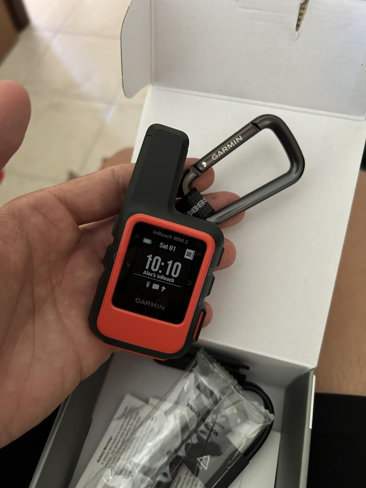
Be clear about what this is. The inReach Mini 2 is a satellite communicator with a GPS built in, not a mapping navigator. Reviewers consistently treat it as a safety device. It ties the Foretrex 401 at 4.6 stars, carries an 82 percent five-star share, and ranks number one in Amazon’s Handheld GPS Units category.
What it does is send two-way text messages and trigger an interactive SOS to a 24/7 search and rescue monitoring center through Iridium satellite network, anywhere on earth, with no cell coverage and no towers involved. TracBack routing navigates you back to your start point, and a MapShare page shares your location with people at home.
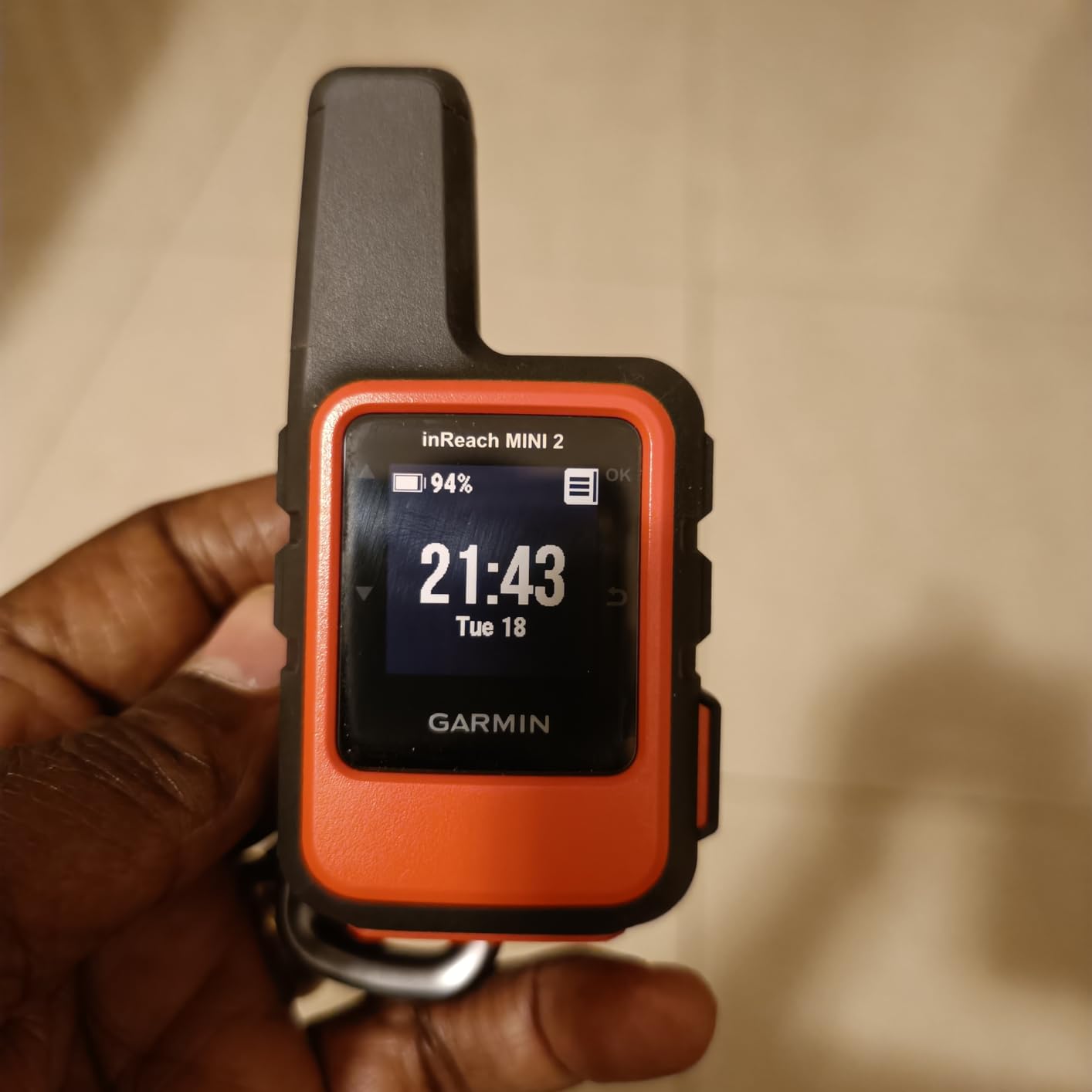
The battery figure is the one that makes this viable for long trips: up to 14 days in 10-minute tracking mode. The digital compass gives heading information even when you are stationary, which is genuinely useful when you are standing still and trying to work out which way is downhill.
It syncs with the Garmin Explore app for trip planning, waypoints, and courses, and it pairs with Garmin wearables and handhelds to send messages and trigger an SOS from a device on your wrist.
What you need to know before buying
An active satellite subscription is required. The hardware alone does not send a message or an SOS. This is the single most important line on the page: without a plan, an inReach unit is an expensive GPS with a locked screen.
The 1.27 inch transflective monochrome MIP display is tiny, and typing custom messages on the device is slow. It works well paired with a phone, where the Earthmate or Explore app handles the typing. A minority of owners also report battery lasting well under the advertised 14 days, so treat that figure as a best case.
Setup and documentation frustrate some first-time users. Budget an evening with the app before you leave home rather than configuring it in a trailhead parking lot.
5. Garmin eTrex 30 – the pick for map-heavy trips and geocaching
Garmin eTrex 30, Worldwide
2.2 inch 65K color TFT
2 AA batteries 25 hours
1.69 GB memory plus microSD
3-axis compass and altimeter
Pros
- Color transflective display readable in direct sunlight
- 1.69 GB internal memory plus microSD expansion
- 3-axis electronic compass and barometric altimeter
- Paperless geocaching support
- 25 hour battery life on AA batteries
- ANT+ wireless sharing
Cons
- Older resistive touchscreen is less responsive than modern touch units
- microSD card not included for detailed road mapping
- Only a 2.2 inch screen at this price level
The eTrex 30 is the model to buy when maps matter more than buttons. It carries 1.69 GB of internal memory, which even before you add a card is several times what the eTrex 10 offers, and the microSD slot takes it further for anyone working a large region.
It sits at 4.3 stars across 718 reviews with a 63 percent five-star share. Owners point to the color transflective display, the built-in compass and altimeter, and the memory as the reasons it holds up as a capable all-round trail unit.
Why geocachers keep coming back to it
Paperless geocaching support is the reason this unit has held its value. You can download geocache descriptions and hints to the device, log finds without a phone, and follow coordinates to a cache without risking signal loss. Wireless sharing over ANT+ lets you pass data to a partner rather than both of you fiddling with cables.
A worldwide basemap with shaded relief is preloaded, along with street and topographic mapping, and the 3-axis electronic compass and barometric altimeter handle the cases where you want a bearing and an altitude reading rather than a map position.
Where its age shows
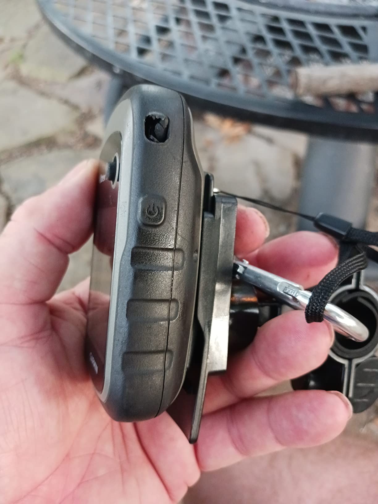
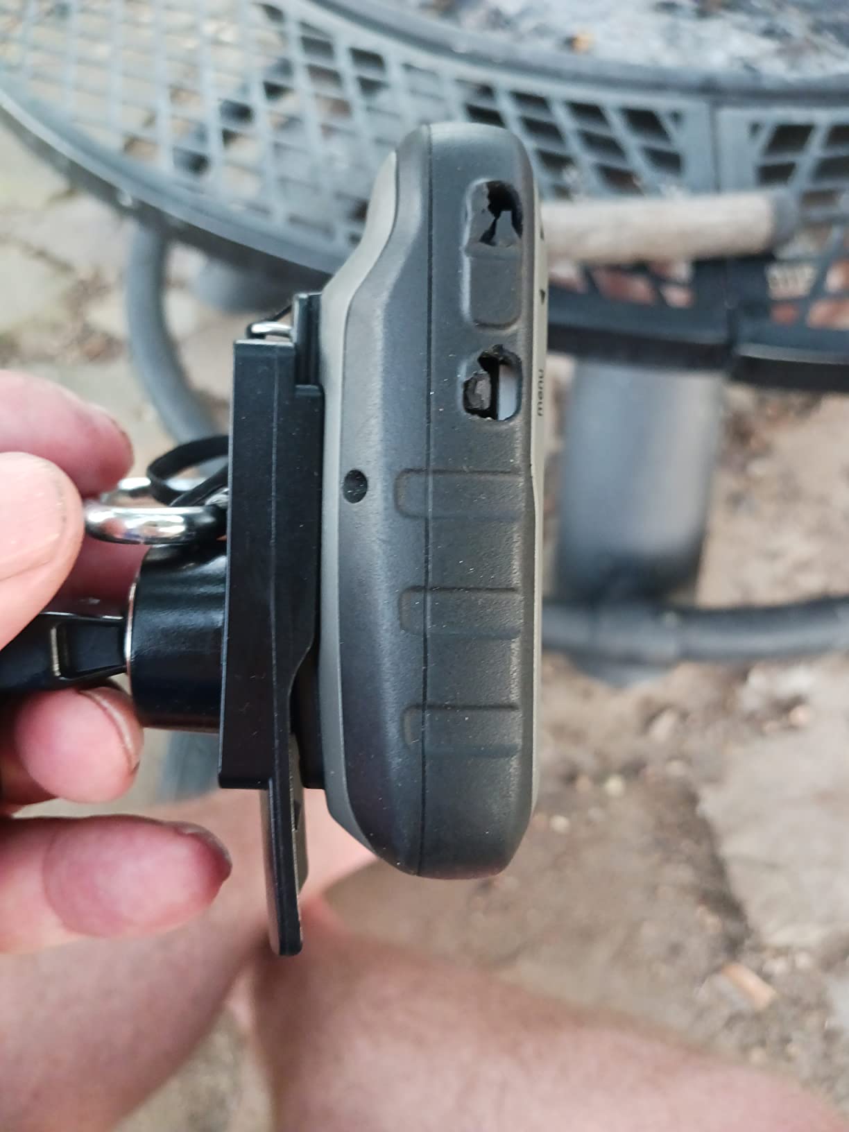
This is a 2011 design, and the resistive touchscreen is noticeably less responsive than a modern capacitive panel. Scrolling a map and panning across a region feels dated next to the Oregon 600, even though both are the same size class.
Also worth knowing: the microSD card is not included in the box, so detailed road mapping needs a card purchased separately. At 25 hours on two AA batteries, runtime is competitive with the newest units, and reviewers describe the rugged waterproof body as built to be used rather than admired.
6. Garmin Oregon 600 – a 3-inch touchscreen for map detail
Garmin 010-01066-00 3-Inch Oregon 600
3 inch sunlight-readable multi-touch touchscreen
Dual-band GPS and GLONASS
16 hours on 2 AA or NiMH pack
Pros
- Large 3 inch sunlight-readable multi-touch display
- Dual-band GPS and GLONASS positioning
- Wireless route and geocache sharing over ANT+ and Bluetooth
- Built-in 3-axis compass and barometric altimeter
- Works with AA batteries or a rechargeable NiMH pack
Cons
- Capacitive touchscreen is awkward with cold or gloved fingers
- 16 hour battery life is short for this category
- 4.0 star average with an 11 percent one-star share
- Older 2013 design with dated performance
The Oregon 600 is the touchscreen option in this roundup, and the appeal is immediate: a 3 inch sunlight-readable multi-touch screen at 240 x 400 resolution, nearly twice the pixel count of the eTrex units. Dual orientation auto-rotates between landscape and portrait, which is nicer than you would expect on a unit this old.
It carries 4.0 stars from 402 reviews, with 56 percent five-star but an 11 percent one-star share, the second-lowest score here. That split is worth reading carefully before you buy.
Under the hood you get dual-band GPS and GLONASS positioning, which is a step up in how it handles signal in difficult terrain, and 1.5 GB of internal memory. Sensors include a 3-axis compass, an accelerometer, and a barometric altimeter.
What makes the touchscreen work on the trail
ANT and Bluetooth wireless sharing transfers routes, tracks, waypoints, geocaches, custom maps, and photos between units, so two people can share a route in seconds. The dual battery system accepts two AA batteries or an optional rechargeable NiMH pack, which means you are never stranded by a proprietary charger.
For hikers who navigate by reading terrain rather than following arrows, the extra screen area genuinely helps. Side trails, drainage crossings, and water sources are all easier to spot on a 3 inch display.
Where gloves and cold get the better of you
This is the core complaint, and it is a real one. A capacitive touchscreen is difficult to operate with cold or gloved fingers, which is precisely the condition in which you most need to consult the map. If your trips run cold, wet, or gloved, a button-driven unit like the GPSMAP 62St is the safer bet.
The 16 hour battery life is also the second shortest in this roundup, and the 2013 design feels dated in day-to-day use. The Oregon 600 makes sense if you mostly hike in mild conditions and want a large, modern-feeling map view. Otherwise the touchscreen trade-off is real.
7. Garmin inReach SE+ – navigation and satellite messaging in one box
Garmin inReach SE+, Handheld Satellite Communicator with GPS Navigation
2.3 inch color LCD
100 hours at 10-minute tracking
Global Iridium two-way messaging
IPX7
Pros
- Combines full GPS navigation with two-way satellite messaging in one unit
- 100 hours of battery at 10-minute tracking
- 2.3 inch color screen far more usable than the inReach Mini
- Earthmate app provides downloadable maps and aerial imagery
- IPX7 water rating and impact resistant
Cons
- Heavier and bulkier than the inReach Mini 2
- Requires an active satellite subscription to function
- Bulky form is less suited to wrist wear than the Foretrex 401
If the inReach Mini 2 annoyed you with its 1.27 inch screen, this is the answer. The inReach SE+ pairs the same global Iridium satellite messaging and interactive SOS with a 2.3 inch color LCD that you can actually navigate on, and it holds 4.2 stars across 286 reviews with a 63 percent five-star share.
That is the whole pitch: one device that is both a navigator and a communicator, so you are not carrying two. The SE+ covers 100 percent global Iridium satellite coverage for two-way text messaging, triggers an interactive SOS to a 24/7 search and rescue monitoring center, and shares your location with family and friends.
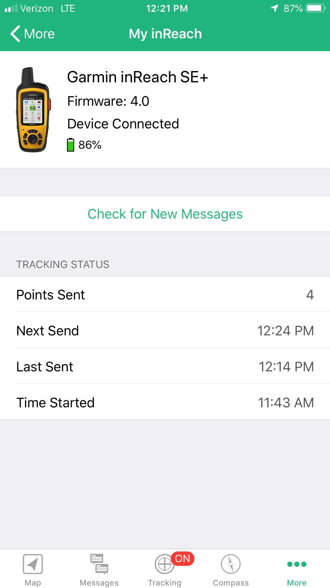
The battery numbers here are the best in the roundup for a satellite device. Up to 100 hours at 10-minute tracking, up to 30 days at a 30-minute interval in power save, and up to 3 years when powered off. That is a device you can leave switched on for a whole expedition without thinking about it.
The free Earthmate app handles downloadable maps, NOAA charts, and color aerial imagery, and Bluetooth keeps it in sync with a phone when you have signal and running standalone when you do not.
Where the bulk shows up
At 8 ounces this is nearly three times the weight of the inReach Mini 2, and the reviewer consensus is that it is noticeably bulkier in a pack. It is a handheld shape, not a wrist shape, so it does not compete with the Foretrex 401 for that spot on your arm.
The subscription requirement applies here too, without exception. Beyond that, the compromises are modest: 286 reviews is a smaller base than the inReach Mini 2, but the 4.2 rating with a 63 percent five-star share reflects owners who got exactly the navigation-plus-messaging combination they wanted.
8. Garmin eTrex Legend HCx – a compact color unit with a loyal following
Garmin eTrex Legend HCx Personal Navigator
1.7 by 1.3 inch 256-level color TFT
WAAS-enabled high-sensitivity receiver
25 hour battery
microSD expansion
Pros
- High-sensitivity WAAS receiver acquires satellites quickly
- Runs for weeks on AA batteries as many owners report
- Sharp bright color screen readable in direct sunlight
- Rounded pocketable form with no protruding antenna
- microSD expansion for large topo map regions
Cons
- Basemap is minimal and detailed maps must be purchased separately
- Garmin map software is expensive and the extra map cost is a common complaint
- No barometric altimeter
- Click-stick 5-way joystick is unintuitive for menus
The eTrex Legend HCx is a 2007 design that has never really gone away, and its 164 reviews at 4.0 stars carry a tellingly flat distribution: 48 percent five-star, 22 percent four-star, but 19 percent three-star. Owners tend to love it or find it frustrating, with very little middle ground.
What the lovers respond to is the receiver. The high-sensitivity WAAS-enabled GPS acquires satellites quickly and holds a solid signal in any environment, and the bright 256-level color TFT stays readable in direct sun despite the small 1.7 by 1.3 inch screen.
What works in its favor
Many owners report AA battery life lasting for weeks, which is the standout claim of the whole roundup for anyone who wants a set-and-forget backup device. At 156 g it is compact and waterproof, the rounded body has no protruding antenna, and the side-mounted buttons keep the screen unobstructed for one-handed use.
USB provides high-speed map downloads, and microSD expansion lets you load topographic maps covering large regions, which is what makes it viable for multi-week trips rather than day hikes.
What the critics hit
The basemap is minimal, and detailed topographic or city maps have to be bought separately. Garmin map software being expensive is one of the most common complaints in the reviews, and it is a legitimate objection for anyone planning to load a full region.
There is no barometric altimeter, and the click-stick 5-way joystick is widely described as unintuitive for navigating maps and menus. Some owners also hit limits with the original desktop software, which was not Mac compatible for USB transfer. If you are buying new today and mapping is central, the eTrex 22x does more for a similar outlay.
9. Garmin GPSMAP 62St – bundled US topo data and a gloved-hand interface
Garmin GPSMAP 62St Handheld GPS Navigator
2.6 inch transflective 65K color TFT
20 hour battery
100K topographic data for the continental US
IPX7
Pros
- Button interface works with cold or gloved hands
- Fast satellite fix with 6 to 10 foot accuracy
- 100K topographic data for the continental US included
- Tilt-compensated electronic compass and barometric altimeter
- 20 hours of battery life especially with lithium AA cells
- IPX7 waterproof housing with shock-resistant covering
Cons
- Some owners report the trip computer over-reading distance by 8 to 19 percent
- Compass can be slow to stabilize and needs repeated calibration
- Minimal documentation requiring a downloaded manual
- 12 percent one-star share
- Older 2010 design with a small 160 x 240 screen
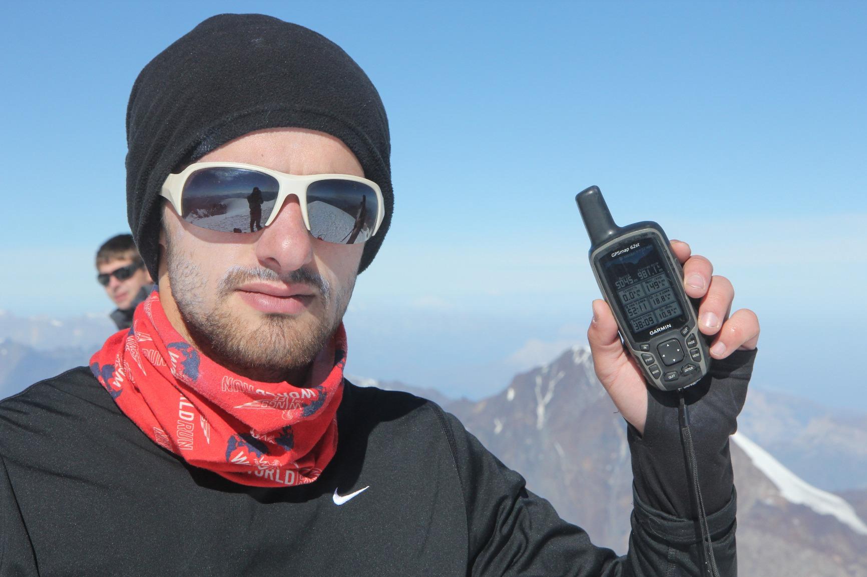
The GPSMAP 62St solves a problem none of the eTrex units solve: it ships with the maps. 100K topographic data for the continental United States is preloaded, alongside a worldwide basemap with shaded relief, so you can navigate real terrain in the lower 48 without buying a single map pack.
It holds 4.1 stars from 148 reviews with a 65 percent five-star share, but also a 12 percent one-star share, one of the highest in this roundup. The reviews are sharply divided, and the reason shows in the details below.
The 2.6 inch transflective 65K color TFT is readable in direct sun, the quad helix antenna gives fast cold-start acquisition, and reviewers report a satellite fix accurate to 6 to 10 feet in open terrain.
Why the button interface is a feature, not a compromise
On this unit there is no touchscreen at all, and that is the point. A button-driven interface works with cold or gloved fingers, which is exactly the condition the Oregon 600 struggles with. For winter hiking or any trip where your hands are wet and cold, buttons are simply more reliable.
It also supports BirdsEye satellite imagery and Custom Maps, though BirdsEye requires a subscription and the 500 MB of internal memory is tight without a card. Paperless geocaching works, and 20 hours of battery life improves noticeably with lithium AA cells.
Where owners report real problems
Some owners report the trip computer over-reading distance by 8 to 19 percent, which is more than enough to throw off pacing on a long day. The tilt-compensated compass can be slow to stabilize and needs repeated calibration, a genuine annoyance if you rely on it for a bearing.
Documentation is minimal and the full manual must be downloaded. Several units were returned on arrival, which is part of why the one-star share sits at 12 percent. At 9.6 ounces it is also the second-heaviest unit in this roundup, which rules it out for ultralight packers.
10. Garmin GPSMAP 66s – a large multi-GNSS screen on a renewed body
Garmin GPSMAP 66s, Handheld Hiking GPS with 3” Color Display and GPS/GLONASS/Galileo Support (Renewed)
3 inch sunlight-readable color at 240 x 400
15 hour battery
Multi-GNSS with GPS and GLONASS
BirdsEye imagery downloads
Pros
- Large 3 inch sunlight-readable color display
- Multi-GNSS support for tracking in challenging terrain
- BirdsEye imagery downloads direct to device with no annual subscription
- Preloaded TOPO maps for the US and Canada
- Three-axis compass and barometric altimeter
Cons
- Amazon Renewed unit with only a 90 day warranty
- 15 hour battery life is the shortest in this roundup
- Garmin desktop software is widely criticized as unintuitive
- Some Renewed units shipped with lesser map bundles
- Owners reported devices locking on a failed software update
The GPSMAP 66s is the largest screen paired with the shortest battery life in this roundup, and it is a renewed unit, so both facts belong in the same breath. It carries 4.0 stars from 52 reviews, the smallest review base here, with 63 percent five-star and 10 percent one-star.
What you get for that trade is a 3 inch sunlight-readable color display at 240 x 400 resolution, which is the best resolution of any unit in this list. Multi-GNSS support across GPS and GLONASS tracks you in more challenging environments than GPS alone, and a three-axis compass plus barometric altimeter round out the sensor set.
BirdsEye satellite imagery downloads direct to the device with no annual subscription, which is a meaningful difference from the GPSMAP 62St where BirdsEye requires a paid plan. TOPO maps for the US and Canada are preloaded, and Bluetooth adds Active Weather forecasts, animated radar, and Geocaching Live syncing.
What renewed condition changes
The warranty drops to 90 days limited instead of the standard one year, and some Renewed units have shipped with lesser map bundles than new units, which undercuts the main reason to buy this model. At 15 hours, battery life is the shortest here.
There are also reports of devices locking up on a failed software update, and Garmin desktop software remains widely criticized as unintuitive for loading maps. The listed weight of 1.76 ounces does not match a 3 inch handheld, so treat the physical specifications with some caution and confirm them before committing.
Who should consider it
Pick this one if you specifically want the biggest, sharpest screen and the no-subscription BirdsEye downloads, and you are comfortable with renewed hardware. For everyone else, the Oregon 600 gives a similar 3 inch screen with a full warranty, and the eTrex 22x covers most hikers for less. Our general advice is to buy renewed only when you are certain about the return window.
How to Choose a GPS Unit for Hiking
Work through these seven criteria in order, and the decision makes itself quickly. If you skip ahead to the spec sheet you will end up paying for features you will never touch.
1. Decide whether you need a unit at all
This comes first for a reason. If every trip is a day hike on a well-marked trail near a trailhead, a phone with an offline map app is genuinely sufficient and the money is better spent elsewhere. Our backpack cooler picks solve a more urgent problem on summer trips.
Move up to a dedicated unit when any of these apply: you are more than a few miles from a road, you are going solo, your route crosses terrain that does not obviously match the map, or you are navigating in weather where a dead phone ends the trip.
2. Signal and constellation support
Multi-GNSS support means the unit locks onto several satellite systems at once, such as GPS, GLONASS, Galileo, QZSS, or BeiDou, rather than one. In open terrain the difference is small. Under canopy, in a canyon, or on a north-facing slope, more constellations means a faster and more stable fix.
Multi-band GNSS is a further step up, receiving two frequency bands simultaneously so the position stays locked as the signal passes through foliage or rock. The Oregon 600 in this roundup uses dual-band positioning, and that is part of why it holds a fix in places cheaper single-band units wander.
3. Accuracy reality-check
Open-sky accuracy on any of these units is measured in feet. That is not where problems occur. Dense tree canopy, sheer canyon walls, and high alpine terrain are the three scenarios that reliably frustrate hikers, and the fix is usually to wait rather than panic: stand still, give it a minute, and move to open sky if the position will not settle.
Cold temperatures also degrade everything. Battery life shortens in winter, and screens become sluggish in the cold even on units rated for low temperatures. Foretrex users report running these units in freezing conditions without issue, which is worth knowing if your hiking season runs into the shoulder months.
4. Battery life and power
Runtime figures in this roundup run from 15 hours on the GPSMAP 66s to 100 hours at 10-minute tracking on the inReach SE+. In practice, expect a meaningful reduction from the rated figure when the backlight is on, the screen is used constantly, or the temperature drops.
AA and AAA power is a genuine advantage for most hikers. Any standard battery works, and you can carry spares. The inReach SE+ in power save mode reaching 30 days, and the Foretrex 401 running for weeks on AAA cells, are the extremes worth knowing.
Expedition mode reduces the power consumption of GPS tracking to extend runtime, at the cost of less frequent position updates. On a device you are mostly using as a track recorder, that is a good trade.
5. Mapping and offline maps
Every unit here works with no cell service, but the depth of what you can see varies enormously. The eTrex 10 has a preloaded worldwide basemap and 6 MB of memory, which is enough to know roughly where you are on a trail. The eTrex 30 at 1.69 GB plus microSD is a step up. The eTrex 22x with preloaded Topo Active routable maps is the practical sweet spot.
Look for preloaded topographic maps with routable trails, downloadable offline maps, a microSD card slot, and support for Custom Maps if you like to work from paper maps. Waypoint marking, route planning, track recording, and elevation profiles should all be present on any modern unit, and the eTrex 10 handles all of them.
6. Satellite communications, and what it really costs
If you hike solo in areas with no cell coverage, a satellite communicator moves from nice-to-have to essential. Both inReach units in this roundup provide two-way satellite messaging and interactive SOS to a 24/7 search and rescue monitoring center. Neither works without an active subscription.
Ask three questions before buying: what the monthly and annual plans cost, whether you can suspend the subscription during months you are not in the backcountry, and whether your plan supports the device you are considering. The inReach Mini 2 is the lighter and cheaper device to carry; the inReach SE+ is the better navigator of the two.
7. Screen type, glove use, and weight
A button-driven interface works with wet, cold, gloved hands. A capacitive touchscreen does not, and this is the most common reason owners return a unit. If your hiking involves cold or wet conditions, weight the button-driven eTrex and GPSMAP models more heavily than the Oregon 600.
Weight matters for ultralight hikers, and the range here is wide: the Foretrex 401 at 3.1 ounces and the GPSMAP 66s at a listed 1.76 ounces on one end, the GPSMAP 62St at 9.6 ounces and the inReach SE+ at 8 ounces on the other. Below roughly 4 ounces, a wrist unit becomes the natural answer because you stop having to unpack to check your position.
The eTrex family, decoded
Four near-identical listings cause more confusion than any other decision in this category, so here is the ladder plainly. The eTrex 10 is the monochrome basemap unit with minimal memory and the longest review history. The eTrex 22x adds a color screen, preloaded routable Topo Active maps, Bluetooth, and 8 GB plus microSD, and is the one we recommend to most people. The eTrex 30 steps up again on memory and sensors, with 1.69 GB, a 3-axis compass, and a barometric altimeter for paperless geocaching.
If you are choosing between them, the decision is simple. If you follow trails and record tracks, the eTrex 10 is enough. If you want to read a map, the eTrex 22x is the answer. If you cache or navigate complex terrain, go to the eTrex 30 or a 3 inch screen unit.
Handheld GPS vs Smartphone: Which One to Actually Carry
Let us be honest first: on many trips, the phone is enough. Gaia and Guthook are the two apps hiking forums rate most highly for on-trail use, with Guthook specifically preferred in the Whites and Greens, and both run offline maps without any cell service. For day hikes and well-marked routes they do the job well.
The case for a dedicated unit is power. Forum users running phone-based tracking report poor battery life, and that is the single most repeated complaint in hiking groups. A phone running GPS, maps, and a screen at full brightness drains fast, and if it dies the trip is over. A handheld with two AA batteries is a solved problem you can solve again on the trail.
The second case is the screen. Reading a phone in gloves, in rain, or in direct alpine sun is awkward. Physical buttons on a rugged handheld can be operated with cold gloves on, and the transflective and monochrome screens on the units here stay readable without backlight in a way a phone does not.
The third case is durability and theft. A dedicated unit is replaceable, does not run out of storage when you take a thousand photos, and does not die because someone dropped it in a creek and took the phone to dry out. A used eTrex is a cheap backup, and forum users keep them for exactly that.
The best approach for most people is to carry both and treat the phone as the primary interface with the handheld as the authority. Map on the phone where the screen is easier to read, and check the handheld when the phone loses its lock. If you take one device, take a phone for short day hikes and a handheld for anything longer or more remote.
GPS Watch vs Handheld GPS for Hiking
The watch-versus-handheld question comes up constantly, and the answer depends on how you hike rather than on which device is better.
A wrist unit wins on weight and on access. The Foretrex 401 at 3.1 ounces is the lightest device in this roundup, and glancing down at your wrist to check a bearing is far faster than stopping, opening a pack, and pulling out a handheld. If your navigation needs are mostly direction, distance, and a breadcrumb trail back to a start point, a wrist unit covers it.
The handheld wins on mapping. A wrist unit in this roundup has a 1.42 by 0.91 inch display, which is a data readout rather than a map. If you need to see a drainage, a junction, or a contour, you need a screen in your hand.
Comfort and distraction are the other two variables. A watch is easier to forget you are wearing and easier to run with. A handheld is easier to drop into a pocket, easier to read while walking on a flat trail, and less distracting during a rest stop. Some hikers end up with one on the wrist and the other in the pack lid for different legs of a trip.
If you are shopping for a watch-oriented device for a younger hiker or for trail running rather than backpacking, our GPS watch guide covers that category. For backcountry hiking specifically, the Foretrex 401 remains the reference point.
What a Satellite Communicator Adds, and What It Costs You
A GPS tells you where you are. A satellite communicator tells someone else. That distinction is the entire point of the inReach family, and it is the feature no phone without cell service can replicate.
Concretely, both inReach units here provide two-way text messaging over the Iridium satellite network anywhere on earth, an interactive SOS that contacts a 24/7 search and rescue monitoring center, and location sharing through a MapShare page. Neither of those functions works without an active satellite subscription. This is not optional and it is not a trial period.
Before you buy, check the current plan tiers for the specific device, because plans are sold separately from hardware and change over time. Ask what the consumer tier costs monthly and annually, what the enterprise tier costs, and whether an annual plan is cheaper than twelve months of the monthly plan. Then ask whether you can suspend rather than cancel during months you are not in the backcountry. Owners of the inReach Mini 2 specifically cite suspension as a feature, and it is worth using.
A subscription is a small annual cost against the consequences of a solo emergency in a drainage with no cell coverage. For day hikers near a trailhead, it is genuinely unnecessary spend. For solo wilderness travel, it is the difference between an accident and a rescue.
Remember that a GPS and a communicator are not substitutes. A satellite communicator does not replace a map, and most inReach users pair theirs with a phone or a handheld navigator. Our recommendation is to treat the communicator as an insurance policy carried alongside, not instead of, a navigation tool.
How to Prepare Your GPS Before a Trip
Five steps, and doing all of them at home takes an evening that you will be glad you spent.
- Update the firmware. Owners on the GPSMAP 66s reported devices locking up on a failed software update, and every other unit in this roundup benefits from current firmware. Do this at home on mains power, never in a car park on a phone battery.
- Download your maps before you leave. Using the Garmin Explore app, sync courses, waypoints, and maps to the device, then confirm on the unit that they are visible with the screen in airplane mode. The GPSMAP 66s and the Oregon 600 also need their map transfers handled carefully, since the desktop software is widely criticized as unintuitive.
- Load geocaches and test data transfer. For the eTrex 10, eTrex 30, GPSMAP 62St, and Oregon 600, download cache descriptions and confirm the sync completed. The eTrex Legend HCx needs Basecamp or compatible software for data transfer, so test it before the trip rather than assuming.
- Walk a test route near home. Twenty minutes of familiar trail teaches you every menu, the backlight timeout, how to drop a waypoint, and how TracBack behaves. Do it in the rain if you can.
- Set up your subscription and test messages. If a communicator is going, activate the plan, send a test message to yourself, and confirm the SOS contact list is right. Know who your emergency contacts are before you need them.
Finally, carry a paper map and a compass. Every forum thread on this topic lands in the same place: electronics fail, batteries die, screens crack, and a device that works perfectly can be useless when you are lost, cold, and out of power. Technology should be an aid to your navigation, not a replacement for it.
Frequently Asked Questions
What is the best GPS navigation device for hiking?
The Garmin eTrex 10 is the most proven handheld GPS for hiking, holding 4.3 stars across 6450 reviews, with 20 hours of battery life on two AA batteries and an IPX7 waterproof rating. If you want color screens and preloaded topographic maps, the Garmin eTrex 22x is the better pick, and all ten units in this roundup work with no cell service at all.
What is the best handheld GPS for hikers?
For most hikers the Garmin eTrex 22x is the best handheld GPS because it combines a sunlight-readable color display, preloaded routable Topo Active maps, GPS and GLONASS support, 8 GB of internal memory plus a microSD slot, and up to 25 hours on two AA batteries. The Garmin eTrex 10 is the cheaper and simpler option if you only need to follow trails and record tracks.
What is the best GPS communicator for hiking?
The Garmin inReach Mini 2 is the best GPS communicator for hiking, offering two-way Iridium satellite messaging and interactive SOS to a 24/7 monitoring center, up to 14 days of battery in 10-minute tracking mode, and a 99 g body. The Garmin inReach SE+ is the alternative if you also want a usable 2.3 inch color navigation screen. Both require an active paid satellite subscription to function.
Do I need a subscription for a Garmin inReach?
Yes. An active satellite subscription is required for an inReach to send two-way messages or trigger an interactive SOS. Without a plan the device still records tracks and positions but cannot contact anyone. Check the current consumer and enterprise plan tiers for your specific device, and ask whether you can suspend the plan rather than cancel it during months you are not hiking.
Is a handheld GPS worth getting?
It is worth it if you hike more than a few miles from a trailhead, go solo, or cross terrain that does not obviously match your map. A phone running Gaia or Guthook with offline maps is genuinely enough for marked day hikes, but phone battery drain is the most common complaint among thru-hikers, and a handheld runs for days on AA batteries, works with gloves, and can be replaced if it fails.
Which Garmin GPS device is best for hiking?
It depends on which eTrex you are choosing between. The Garmin eTrex 10 is the simplest and most proven, the eTrex 22x adds a color screen and preloaded routable Topo Active maps and is our general recommendation, and the eTrex 30 adds 1.69 GB of memory, a 3-axis compass, and a barometric altimeter for paperless geocaching. For satellite messaging, the inReach Mini 2 is the choice.
Which GPS Unit Is Right for You
Here is the short version of the best GPS units for hiking decisions. Follow marked trails and just want a reliable track recorder: take the Garmin eTrex 10, our top pick, because 6450 reviews of four-star-or-better performance is the strongest track record in the category. Want to read a map and pick a route with a partner: the eTrex 22x gives you color, preloaded routable topographic maps, and room to download.
Caching or navigating complex terrain: the eTrex 30 with 1.69 GB and a 3-axis compass, or a 3 inch screen if you want map detail more than buttons. Winter, cold hands, wet gloves: skip touchscreens entirely and go button-driven with the GPSMAP 62St or any eTrex model. Carrying the lightest possible kit on a thru-hike: the Foretrex 401 at 3.1 ounces on the wrist.
Hiking solo where nobody can reach you: add a communicator, and accept the subscription. The inReach Mini 2 is the lightest way to carry it, the inReach SE+ if you also want a real navigation screen. And if every trip is a marked day hike close to a trailhead, keep your money and put a good headlamp in your pack instead.
Whichever you choose, carry a paper map and compass, test the device before the trip, and download everything before you lose signal.