
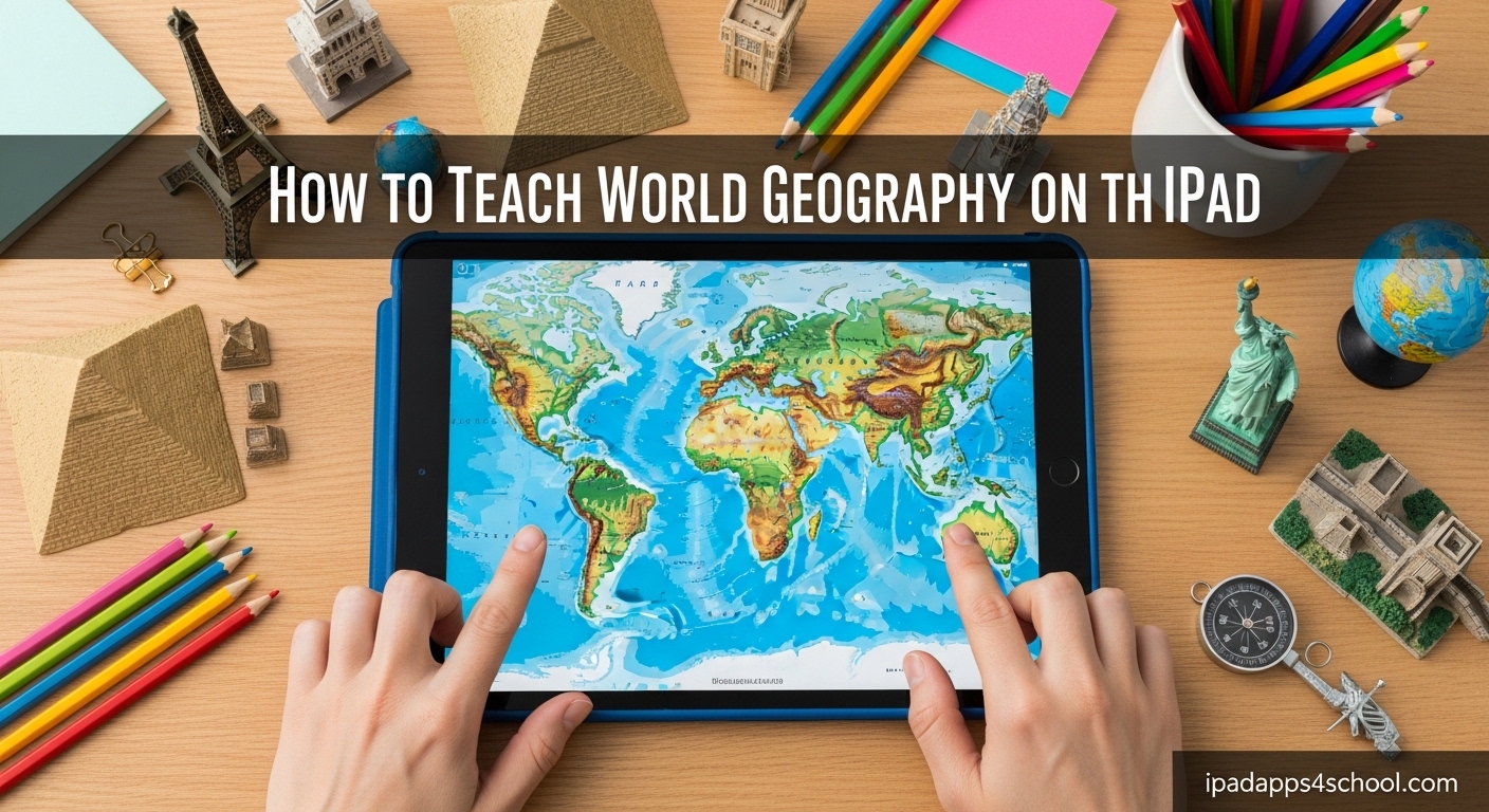
Teaching world geography on iPad transforms how students explore our planet. Interactive maps, 3D globes, and engaging quiz apps make learning about countries, capitals, and cultures far more captivating than traditional textbook methods.
Our team has spent months testing geography apps with students across elementary, middle, and high school levels. We’ve identified the most effective teaching strategies and the apps that actually deliver results. In this guide, you’ll learn exactly how to teach world geography on iPad with proven methods that work in classrooms and homeschool settings.
Whether you’re a classroom teacher managing 30 iPads or a parent teaching one child at home, this guide gives you practical strategies you can implement today.
Table of Contents
Teaching World Geography on iPad: A Structured Approach
Effective iPad geography education combines interactive apps with structured lesson planning. The key is balancing digital exploration with clear learning objectives that match your students’ age and skill level.
Why iPad Geography Education Works
iPads make geography tangible. Students can pinch to zoom across continents, spin 3D globes with a finger swipe, and explore street-level views of distant cities. This tactile interaction builds spatial awareness that flat maps simply cannot match.
Research from educational technology studies shows that interactive map tools improve retention of country locations by up to 40% compared to traditional map worksheets. The immediate feedback in quiz apps helps students correct misconceptions instantly rather than practicing errors.
Multimedia features bring geography to life. Students can view photos of landmarks, listen to native languages, and watch videos of cultural celebrations. This multi-sensory approach accommodates different learning styles and keeps engagement high.
Setting Learning Objectives by Age
Different age groups need different geography education approaches. Elementary students should focus on continent recognition, basic country locations, and understanding that maps represent real places. Middle schoolers can tackle capital cities, physical geography features, and cultural comparisons. High school students benefit from analyzing geographic data, understanding geopolitical relationships, and exploring GIS concepts.
Be specific with your goals. Instead of “learn about Europe,” set objectives like “identify 15 European countries and their capitals by the end of the unit.” Clear targets help you select the right apps and measure progress accurately.
Essential Geography Apps for iPad Learning
The right geography apps for iPad combine educational value with engaging design. After testing dozens of options, we’ve identified the most effective tools organized by age group and learning style.
Best Geography Apps for Elementary Students (Ages 5-10)
Young learners need game-based apps that teach through play. These selections balance fun with foundational geography skills.
Stack the Countries turns geography into a physics puzzle game. Students answer questions to earn countries, then stack them to reach a goal line. The silly animations and game mechanics keep kids engaged while they learn country shapes, locations, and capitals. Parents report their children playing voluntarily during free time, which rarely happens with traditional flashcards.
Seterra Geography offers over 400 map quizzes with a clean, simple interface perfect for young learners. The app covers everything from continents to specific regions, with audio pronunciation support for country names. Best of all, much of the content is free, making it accessible for classroom sets.
Geo Touch: Learn Geography uses a puzzle-style approach where students tap regions to learn and identify them. The app teaches through repetition and positive reinforcement, building confidence as learners master each area. It covers all continents with adjustable difficulty levels.
Top Apps for Middle School Learners (Ages 11-14)
Middle school students need more sophisticated content while maintaining engagement. These apps offer deeper exploration and more challenging assessments.
World Quiz: Learn Geography provides comprehensive coverage of countries, capitals, flags, and landmarks across beautiful interactive maps. The app tracks progress and adapts difficulty, making it ideal for both beginners and advanced learners. Challenge modes let students compete against classmates or their own previous scores.
Google Earth remains the gold standard for virtual exploration. Students can fly anywhere on Earth, view 3D buildings, explore Street View, and access curated educational tours called Voyager. The “I’m Feeling Lucky” feature takes students to random interesting locations, sparking curiosity and discovery.
National Geographic World Atlas combines high-quality maps with rich content about cultures, wildlife, and environments. The app integrates photos and articles from National Geographic’s extensive archive, connecting geography to real-world stories and current events.
Advanced Tools for High School and Beyond
Older students need apps that support analysis, research, and complex thinking about geographic relationships.
World Geography Quiz Game offers challenging assessments suitable for high school geography bee preparation and AP Human Geography review. The app includes detailed statistics about countries, physical geography, and geopolitical information.
Google Earth Pro features (available in the standard app) support data visualization with layers showing demographics, climate data, and historical imagery. Students can measure distances, calculate areas, and compare changes over time using satellite imagery archives.
GIS-focused tools like ArcGIS Explorer provide introduction to professional geographic information systems. Students can analyze spatial data, create custom maps, and understand how geographers solve real-world problems.
Free vs Paid Geography Apps: What You Need to Know
Budget constraints matter for educators. The good news is that excellent free geography apps exist, though paid options often provide more comprehensive features.
Seterra, Google Earth, and basic versions of many quiz apps are completely free. These tools alone provide enough content for a full geography curriculum. Free apps typically include ads or limited content sets, which may distract younger learners or require more teacher management.
Paid apps usually cost between $2.99 and $9.99 one-time purchases. Stack the Countries, full Geo Touch versions, and premium World Quiz features remove ads, unlock all content, and add progress tracking. For classroom use, the small investment often pays off in reduced distractions and better assessment tools.
Avoid subscription-based geography apps when possible. Students need consistent access for review and practice, and subscription lapses interrupt learning continuity.
How to Teach World Geography on iPad: Step-by-Step Implementation
Successful iPad geography education requires more than just downloading apps. Follow this structured approach to maximize learning outcomes and minimize classroom management issues.
Step 1: Establish Your Geography Learning Routine
Consistency beats intensity in geography education. Short, regular practice sessions build retention better than occasional marathon study sessions.
Schedule 15-20 minute geography sessions three to four times per week. This frequency maintains engagement without causing burnout. Many teachers find that starting or ending class with a quick geography challenge works well.
Create a rotation schedule if using multiple apps. For example: Monday with Seterra for map quizzes, Wednesday with Google Earth for exploration, Friday with Stack the Countries for review. This variety prevents monotony while covering different skills.
Step 2: Combine Multiple Learning Modes
iPad apps work best as part of a broader geography education strategy. Supplement digital learning with hands-on activities that reinforce concepts.
After exploring a region on Google Earth, have students create physical maps or cultural projects about countries they discovered. Use the iPad for initial exploration and assessment, then extend learning through art, writing, or research projects.
Offline activities matter too. Practice with paper maps builds skills that transfer to digital tools. Many teachers find that alternating between iPad and traditional methods produces the best retention rates.
Step 3: Create Engaging Lesson Plans
Structure your geography lessons with clear objectives and varied activities. A sample 30-minute lesson might look like this:
- Warm-up (5 minutes): Quick quiz on previously learned countries using a quiz app
- Introduction (5 minutes): Use Google Earth to introduce the day’s focus region
- Guided exploration (10 minutes): Students explore specific countries with guided questions
- Practice activity (8 minutes): Game-based learning with Stack the Countries or Seterra
- Closure (2 minutes): Quick share of one new fact each student learned
For remote teaching or flipped classrooms, consider using screen recording for iPad tutorials to demonstrate app features. Record yourself completing a geography challenge, then share the video with students to watch before class.
Step 4: Manage iPads Effectively in Classroom Settings
Device management can make or break your geography lessons. Establish clear procedures before introducing iPads to avoid chaos.
Set up guided access on classroom iPads to keep students focused on geography apps. This iOS feature locks the device into a single app, preventing students from browsing or playing games during lessons.
Create student accounts where apps support multiple profiles. Progress tracking works better when each student has their own account. For apps without account systems, establish a paper tracking system where students record their scores and achievements.
Have a backup plan for technical issues. If the WiFi fails or an app crashes, students should have alternative activities ready. Offline-capable apps like downloaded sections of Google Earth or single-player quiz games provide insurance against connectivity problems.
Tracking Progress and Assessing Geography Learning
Assessment helps you adjust instruction and demonstrate learning outcomes. iPad geography apps offer built-in tracking, but you should supplement with your own evaluation methods.
Using App-Based Progress Tracking
Most quality geography apps include scoring systems, achievement badges, or progress percentages. Use these features to motivate students and identify areas needing additional practice.
Seterra tracks quiz completion times and accuracy rates, letting you see which regions students have mastered. World Quiz maintains streak counters that encourage daily practice. Share these metrics with students so they can see their own growth.
Be cautious about over-relying on app scores alone. Some students test well on digital quizzes but struggle to transfer knowledge to new contexts. Use app data as one indicator among several.
Creating Your Own Assessment System
Develop rubrics that measure deeper geography understanding beyond memorization. Can students explain why certain countries border each other? Do they understand how geography affects culture and economy?
Create checklists of skills students should master by unit end. Include items like “identifies 20 countries by shape,” “locates major mountain ranges,” and “explains how rivers affect settlement patterns.” Check off skills as you observe students demonstrating them during iPad activities.
Regular low-stakes assessment works better than occasional high-pressure tests. Weekly five-minute map quizzes using iPad apps keep skills sharp without creating test anxiety. The immediate feedback in apps helps students self-correct before bad habits form.
Advanced Strategies for Engaging Geography Lessons
Once you have basic iPad geography instruction working, expand with creative approaches that deepen learning and maintain enthusiasm.
Connecting Geography with History and Culture
Geography doesn’t exist in isolation. Use iPad tools to explore how location shaped historical events and cultural development.
When studying ancient civilizations, have students use Google Earth to examine the terrain where empires developed. Discuss how the Nile’s predictable flooding enabled Egyptian civilization, or how mountain ranges protected ancient Chinese settlements. Visual exploration makes these connections concrete.
Create cross-curricular projects combining geography with literature. Students can map locations from books they read, exploring the real places that inspired fictional settings. This approach works well with stories like “Around the World in Eighty Days” or contemporary books set in specific countries.
Virtual Field Trips and Real-World Exploration
Take students places they could never visit physically. Google Earth Voyager offers guided tours of world landmarks, natural wonders, and cultural sites with embedded information and stunning visuals.
Use Street View to walk through foreign cities, observing architecture, street signs, and daily life. Students can “visit” markets in Marrakech, walk along the Seine in Paris, or explore neighborhoods in Tokyo. These virtual experiences build cultural awareness alongside geographic knowledge.
Assign students to plan virtual trips between countries, calculating routes, identifying stops, and researching locations along the way. This project-based approach applies geography skills to realistic scenarios.
FAQ
What is a fun way to learn world geography?
Interactive games and puzzle-based apps make geography fun. Apps like Stack the Countries turn learning into a physics game, while Seterra offers engaging map quizzes with immediate feedback. Virtual field trips using Google Earth let students explore the world through street view and 3D landmarks. Combining these digital tools with classroom competitions and achievement tracking keeps motivation high.
What apps can help with world geography?
The best apps for world geography include Seterra Geography for comprehensive map quizzes, Google Earth for virtual exploration, Stack the Countries for elementary learners, Geo Touch for puzzle-based learning, and World Quiz for detailed assessments. Free options work well for most needs, while paid apps like full Geo Touch versions remove ads and unlock additional features.
Which software is useful for teaching geography?
Effective geography teaching software combines interactive maps, assessment tools, and multimedia content. Google Earth provides comprehensive virtual exploration capabilities. Seterra offers over 400 customizable map quizzes. National Geographic World Atlas integrates photos and cultural information. For advanced learners, GIS tools like ArcGIS Explorer introduce professional spatial analysis concepts.
How to teach geography in a fun way?
Make geography fun by combining game-based apps with real-world connections. Use quiz apps with timer challenges and score tracking. Organize classroom competitions where students compete in geography games. Connect locations to students’ interests, sports, movies, or family heritage. Create virtual travel projects where students research and present countries they want to visit. Celebrate achievements with certificates or recognition when students master new regions.
Can iPads replace traditional geography teaching methods?
iPads enhance but should not completely replace traditional geography methods. Digital tools excel at visualization, immediate feedback, and engagement. However, physical map practice builds different neural pathways and skills. The best approach combines both, using iPads for exploration and assessment while maintaining paper map activities, physical globes, and hands-on projects. This balanced approach produces the strongest learning outcomes.
How do I track student progress with geography apps?
Most geography apps include built-in progress tracking through scores, completion percentages, and achievement badges. Seterra tracks quiz times and accuracy. World Quiz maintains streak counters. For classroom management, create student accounts where apps support them, or use paper tracking sheets. Supplement app data with your own observations and periodic assessments to ensure skills transfer beyond the specific app context.
Conclusion: Start Teaching World Geography on iPad Today
Teaching world geography on iPad opens new possibilities for engaging students with our planet. The combination of interactive maps, gamified learning, and virtual exploration creates experiences that textbooks cannot match. Students who use geography apps regularly show improved retention, stronger spatial reasoning, and greater enthusiasm for learning about the world.
Start simple. Choose one or two free apps like Seterra and Google Earth. Establish a consistent routine of short practice sessions. Combine digital learning with hands-on activities and real-world connections. As you gain confidence, expand your app collection and try more advanced strategies like virtual field trips and cross-curricular projects.
The educators we spoke with who have successfully integrated iPads into their geography instruction all share one common observation: their students actually look forward to geography lessons now. That engagement alone makes the effort worthwhile. Your students are ready to explore the world from their desks. Give them the tools to start their journey today.